File:Portcolborne-niagara.png
Jump to navigation
Jump to search
No higher resolution available.
Portcolborne-niagara.png (473 × 329 pixels, file size: 9 KB, MIME type: image/png)
Captions
Captions
Add a one-line explanation of what this file represents
| Description |
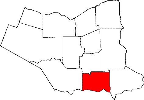
日本語: ナイアガラ地域内の位置. |
||
| Date | |||
| Source | Map of Port Colborne, Ontario | ||
| Author | User Snickerdo on en.wikipedia | ||
| Permission (Reusing this file) |
|
||
| Other versions |
Originally from en.wikipedia; description page is (was) here * 02:23, 9 December 2004 [[:en:User:Snickerdo|Snickerdo]] 473×329 (8,875 bytes) |
(Uploaded using CommonsHelper or PushForCommons)
File history
Click on a date/time to view the file as it appeared at that time.
| Date/Time | Thumbnail | Dimensions | User | Comment | |
|---|---|---|---|---|---|
| current | 20:15, 11 November 2006 | | 473 × 329 (9 KB) | Hopperseven (talk | contribs) | {{Information| |Description= |Source=Map of Port Colborne, Ontario |Date=02:23, 9 December 2004 |Author=User Snickerdo on [http://en.wikipedia.org en.wikipedia] |Permission={{PD-self}} |other_versions= Originally from [http://en.w |
You cannot overwrite this file.
File usage on Commons
The following 2 pages use this file:
File usage on other wikis
The following other wikis use this file:
- Usage on ar.wikipedia.org
- Usage on diq.wikipedia.org
- Usage on en.wikipedia.org
- Usage on es.wikipedia.org
- Usage on fa.wikipedia.org
- Usage on ja.wikipedia.org
- Usage on pl.wikipedia.org
- Usage on pt.wikipedia.org
- Usage on uk.wikipedia.org
- Usage on vo.wikipedia.org
- Usage on www.wikidata.org