File:Powiat białogardzki location map.png
Jump to navigation
Jump to search
Size of this preview: 772 × 600 pixels. Other resolutions: 309 × 240 pixels | 618 × 480 pixels | 989 × 768 pixels | 1,112 × 864 pixels.
Original file (1,112 × 864 pixels, file size: 199 KB, MIME type: image/png)
Captions
Captions
Add a one-line explanation of what this file represents
| Description |
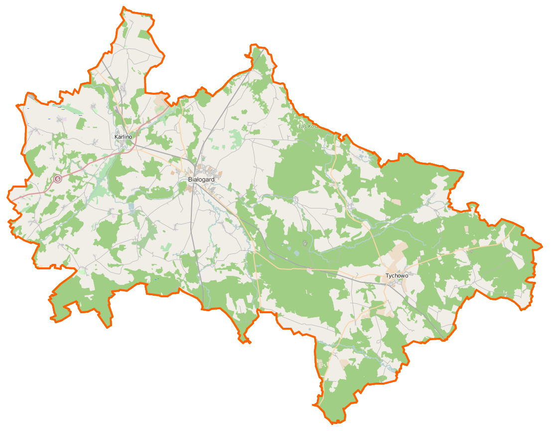
Polski: Mapa powiatu białogardzkiego, Polska
English: Map of Powiat białogardzki, Poland |
|||||||||
| Date | ||||||||||
| Source | You may find a page on the OpenStreetMap wiki page for Powiat białogardzki | |||||||||
| Creator |
OpenStreetMap contributors OpenStreetMap contributors |
|||||||||
| Permission (Reusing this file) |
OpenStreetMap data is available under the Open Database License (details). Map tiles are licensed under the Creative Commons Attribution-ShareAlike 2.0 license (CC-BY-SA 2.0).
This file is licensed under the Creative Commons Attribution-Share Alike 2.0 Generic license.
|
|||||||||
| Geotemporal data | ||||||||||
| Bounding box |
|
|||||||||
| Georeferencing | If inappropriate please set warp_status = skip to hide. | |||||||||
File history
Click on a date/time to view the file as it appeared at that time.
| Date/Time | Thumbnail | Dimensions | User | Comment | |
|---|---|---|---|---|---|
| current | 07:01, 16 February 2015 | | 1,112 × 864 (199 KB) | VanWiel (talk | contribs) | {{OpenStreetMap | name = Powiat białogardzki | location = Powiat białogardzki | description = {{pl|Mapa powiatu białogardzkiego, Polska}} {{en|Map of Powiat białogardzki, Poland}} | top = 54.1511 | bott... |
You cannot overwrite this file.
File usage on Commons
There are no pages that use this file.
File usage on other wikis
The following other wikis use this file:
- Usage on eo.wikipedia.org
- Usage on fr.wikipedia.org
- Usage on pl.wikipedia.org
- Karlino
- Powiat białogardzki
- Gruszewo
- Białogórzyno
- Byszyno
- Czarnowęsy
- Dargikowo
- Daszewo
- Doble
- Dobrowo
- Domacyno
- Drzonowo Białogardzkie
- Dębczyno
- Garnki
- Gościnko
- Klępino Białogardzkie
- Kamosowo
- Karścino
- Kowańcz
- Lulewice
- Lulewiczki
- Malonowo
- Moczyłki
- Motarzyn
- Nawino
- Nosówko
- Osówko (województwo zachodniopomorskie)
- Pobądz
- Podwilcze
- Redlino
- Rościno
- Rychówko
- Stare Dębno
- Tyczewo
- Ubysławice
- Żeleźno
- Żelimucha
- Żytelkowo
- Zaspy Wielkie
- Borzysław (powiat białogardzki)
- Buczek (powiat białogardzki)
- Dzięciołowo (województwo zachodniopomorskie)
- Góry (województwo zachodniopomorskie)
- Karwin (województwo zachodniopomorskie)
- Kowalki (województwo zachodniopomorskie)
- Laski (powiat białogardzki)
- Lubiechowo (województwo zachodniopomorskie)
- Łęczno (województwo zachodniopomorskie)
View more global usage of this file.