File:Powiat gostyniński location map.png
Jump to navigation
Jump to search

Size of this preview: 800 × 507 pixels. Other resolutions: 320 × 203 pixels | 640 × 406 pixels | 1,024 × 649 pixels | 1,249 × 792 pixels.
Original file (1,249 × 792 pixels, file size: 131 KB, MIME type: image/png)
Captions
Captions
Add a one-line explanation of what this file represents
| Description |
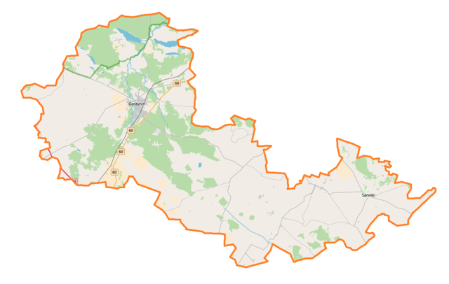
Polski: Mapa powiatu gostynińskiego, Polska
English: Map of Powiat gostyniński, Poland |
|||||||||
| Date | ||||||||||
| Source | You may find a page on the OpenStreetMap wiki page for Powiat gostyniński | |||||||||
| Creator |
OpenStreetMap contributors OpenStreetMap contributors |
|||||||||
| Permission (Reusing this file) |
OpenStreetMap data is available under the Open Database License (details). Map tiles are licensed under the Creative Commons Attribution-ShareAlike 2.0 license (CC-BY-SA 2.0).
This file is licensed under the Creative Commons Attribution-Share Alike 2.0 Generic license.
|
|||||||||
| Geotemporal data | ||||||||||
| Bounding box |
|
|||||||||
| Georeferencing | If inappropriate please set warp_status = skip to hide. | |||||||||
File history
Click on a date/time to view the file as it appeared at that time.
| Date/Time | Thumbnail | Dimensions | User | Comment | |
|---|---|---|---|---|---|
| current | 09:30, 9 June 2018 | | 1,249 × 792 (131 KB) | Smat (talk | contribs) | correct map |
| 06:23, 19 September 2014 |  | 714 × 453 (98 KB) | VanWiel (talk | contribs) | {{OpenStreetMap | name = Powiat gostyniński | location = Powiat gostyniński | description = {{pl|Mapa powiatu gostynińskiego, Polska}} {{en|Map of Powiat gostyniński, Poland}} | top = 52.5388 | left... |
You cannot overwrite this file.
File usage on Commons
There are no pages that use this file.
File usage on other wikis
The following other wikis use this file:
- Usage on pl.wikipedia.org
- Gostynin
- Powiat gostyniński
- Pacyna
- Model (województwo mazowieckie)
- Kruk (Gorzewo)
- Aleksandrynów
- Anatolin
- Baby Dolne
- Baby Górne
- Białotarsk
- Bierzewice
- Brzezia
- Budki Suserskie
- Budy Kaleńskie
- Budy Kozickie
- Budy Lucieńskie
- Choinek
- Gaśno (wieś w województwie mazowieckim)
- Gorzewo-Kolonia
- Gołas
- Gulewo
- Górki Pierwsze
- Górki Drugie
- Helenów Słupski
- Helenów Trębski
- Holendry Dobrowskie
- Huta Zaborowska
- Kleniew
- Kiełpieniec
- Legarda
- Leśniewice (województwo mazowieckie)
- Lisica (województwo mazowieckie)
- Lubieniek
- Lubików
- Lucień
- Luszyn
- Łokietnica
- Łuszczanówek
- Łuszczanów Pierwszy
- Łuszczanów Drugi
- Marianów Sierakowski
- Mellerów
- Miałkówek
- Misiadla
- Mocarzewo (wieś)
- Jastrzębia (powiat gostyniński)
- Zaborów Nowy
- Osmolin (województwo mazowieckie)
- Osmólsk Górny
- Osowia
View more global usage of this file.