File:Powiat gryficki location map.png
Jump to navigation
Jump to search
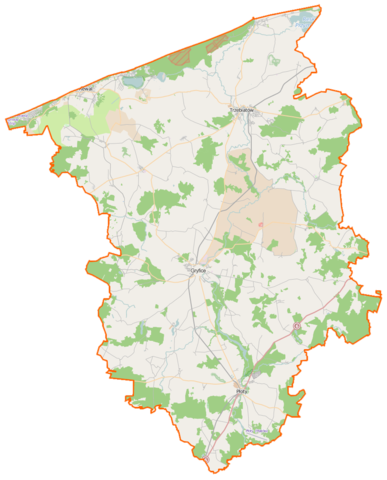
Size of this preview: 483 × 599 pixels. Other resolutions: 193 × 240 pixels | 387 × 480 pixels | 884 × 1,097 pixels.
Original file (884 × 1,097 pixels, file size: 203 KB, MIME type: image/png)
Captions
Captions
Add a one-line explanation of what this file represents
| Description |
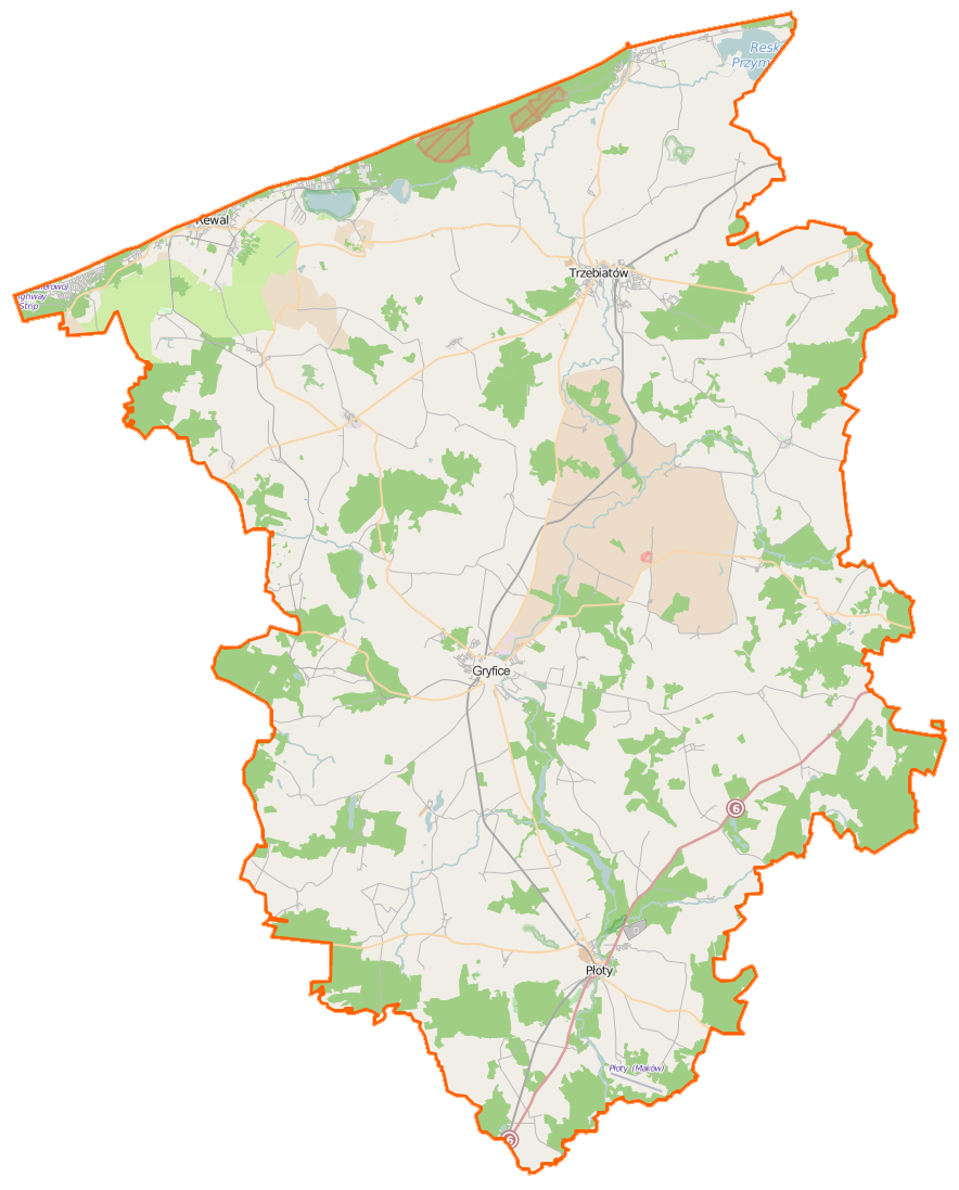
Polski: Mapa powiatu gryfickiego, Polska
English: Map of Powiat gryficki, Poland |
|||||||||
| Date | ||||||||||
| Source | You may find a page on the OpenStreetMap wiki page for Powiat gryficki | |||||||||
| Creator |
OpenStreetMap contributors OpenStreetMap contributors |
|||||||||
| Permission (Reusing this file) |
OpenStreetMap data is available under the Open Database License (details). Map tiles are licensed under the Creative Commons Attribution-ShareAlike 2.0 license (CC-BY-SA 2.0).
This file is licensed under the Creative Commons Attribution-Share Alike 2.0 Generic license.
|
|||||||||
| Geotemporal data | ||||||||||
| Bounding box |
|
|||||||||
| Georeferencing | If inappropriate please set warp_status = skip to hide. | |||||||||
File history
Click on a date/time to view the file as it appeared at that time.
| Date/Time | Thumbnail | Dimensions | User | Comment | |
|---|---|---|---|---|---|
| current | 13:38, 16 February 2015 | | 884 × 1,097 (203 KB) | VanWiel (talk | contribs) | {{OpenStreetMap | name = Powiat gryficki | location = Powiat gryficki | description = {{pl|Mapa powiatu gryfickiego, Polska}} {{en|Map of Powiat gryficki, Poland}} | top = 54.1640 | bottom = 53.7207... |
You cannot overwrite this file.
File usage on Commons
There are no pages that use this file.
File usage on other wikis
The following other wikis use this file:
- Usage on pl.wikipedia.org
- Trzebiatów
- Pobierowo
- Pustkowo (powiat gryficki)
- Trzęsacz (powiat gryficki)
- Niechorze
- Latarnia Morska Niechorze
- Liwia Łuża
- Pogorzelica (gmina Rewal)
- Rewal
- Śliwin
- Powiat gryficki
- Gryfice
- Resko Przymorskie
- Płoty
- Mrzeżyno
- Dargosław (województwo zachodniopomorskie)
- Konarzewo (powiat gryficki)
- Baszewice
- Bieczyno
- Bielikowo
- Borzyszewo (województwo zachodniopomorskie)
- Brodniki
- Brojce
- Cerkwica
- Ciećmierz
- Czaplin Mały
- Czaplin Wielki
- Darszyce
- Dobrzyń (województwo zachodniopomorskie)
- Dreżewo
- Dziadowo
- Gocławice
- Gostyń Łobeski
- Gołańcz Pomorska
- Gościmierz
- Jasiel (województwo zachodniopomorskie)
- Kłodkowo
- Kukań
- Kusin
- Karczewie
- Kocierz (województwo zachodniopomorskie)
- Kołomąć
- Lędzin
- Łatno
- Łopianów
- Łowiska
- Mojszewo
- Niekładź
- Natolewice
- Niedysz
View more global usage of this file.