File:Powiat puławski location map.png

Original file (1,284 × 1,175 pixels, file size: 662 KB, MIME type: image/png)
Captions
Captions
Summary
[edit]
| Description |
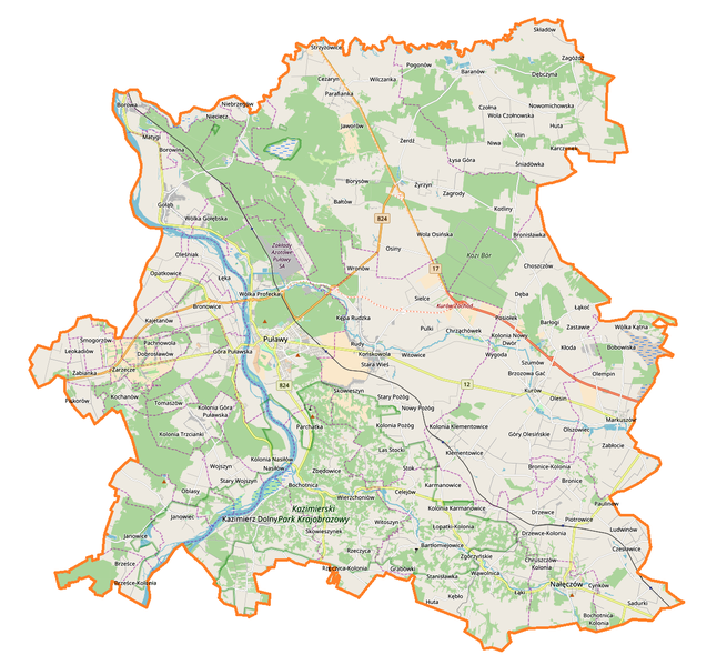
English: Location map |
| Date | |
| Source | Own work |
| Author | Smat |
| Description |
Polski: Mapa powiatu puławskiego, Polska
English: Map of powiat puławski, Poland |
|||||||||
| Date | ||||||||||
| Source | You may find a page on the OpenStreetMap wiki page for powiat puławski | |||||||||
| Creator |
OpenStreetMap contributors OpenStreetMap contributors |
|||||||||
| Permission (Reusing this file) |
OpenStreetMap data is available under the Open Database License (details). Map tiles are licensed under the Creative Commons Attribution-ShareAlike 2.0 license (CC-BY-SA 2.0).
This file is licensed under the Creative Commons Attribution-Share Alike 2.0 Generic license.
|
|||||||||
| Geotemporal data | ||||||||||
| Bounding box |
|
|||||||||
| Georeferencing | If inappropriate please set warp_status = skip to hide. | |||||||||
Licensing
[edit]
| This work contains information from OpenStreetMap, which is made available under the Open Database License (ODbL).
The ODbL does not require any particular license for maps produced from ODbL data. Prior to 1 August 2020, map tiles produced by the OpenStreetMap Foundation were licensed under the CC-BY-SA-2.0 license. Maps produced by other people may be subject to other licences. |
File history
Click on a date/time to view the file as it appeared at that time.
| Date/Time | Thumbnail | Dimensions | User | Comment | |
|---|---|---|---|---|---|
| current | 16:08, 1 October 2017 | | 1,284 × 1,175 (662 KB) | Smat (talk | contribs) | User created page with UploadWizard |
You cannot overwrite this file.
File usage on Commons
There are no pages that use this file.
File usage on other wikis
The following other wikis use this file:
- Usage on eo.wikipedia.org
- Usage on pl.wikipedia.org
- Kazimierz Dolny
- Zamek w Janowcu
- Nałęczów
- Puławy
- Powiat puławski
- Chrząchów
- Gołąb (powiat puławski)
- Wygoda (Szumów)
- Janowiec (województwo lubelskie)
- Kurów (powiat puławski)
- Klementowice
- Rezerwat przyrody Czapliniec koło Gołębia
- Wąwolnica (województwo lubelskie)
- Markuszów
- Rezerwat przyrody Łęg na Kępie w Puławach
- Rezerwat przyrody Piskory
- Końskowola
- Brzozowa Gać
- Olesin (powiat puławski)
- Buchałowice
- Drzewce (województwo lubelskie)
- Szumów
- Barłogi (województwo lubelskie)
- Posiołek
- Dęba (województwo lubelskie)
- Bronisławka (powiat puławski)
- Zastawie (powiat puławski)
- Choszczów
- Płonki
- Łąkoć (województwo lubelskie)
- Wólka Nowodworska
- Mała Kłoda
- Kłoda (województwo lubelskie)
- Bartłomiejowice (województwo lubelskie)
- Łopatki (województwo lubelskie)
- Rąblów
- Mała Dęba
- Kolonia Klementowice
- Kolonia Olesin
- Józefów (powiat puławski)
- Kazimierski Park Krajobrazowy
- Zamek w Kazimierzu Dolnym
- Parafia Narodzenia Najświętszej Maryi Panny i św. Michała Archanioła w Kurowie
- Skowieszyn
- Sadurki
- Paluchów
- Węgielnica (Dęba)
- Marianka (gmina Kurów)
- Góry Olesińskie
View more global usage of this file.