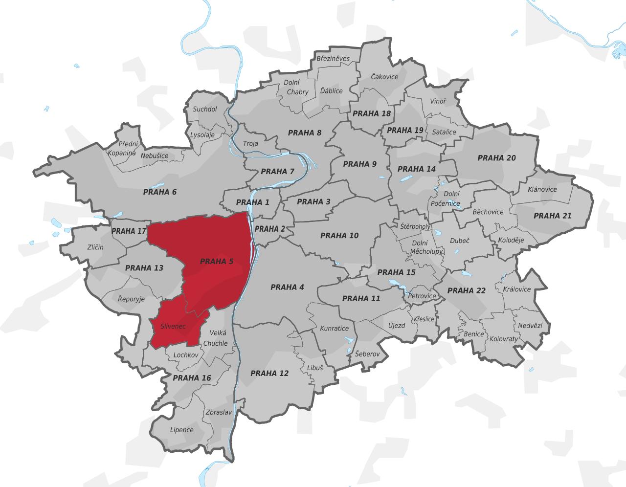
File:Prague administrative district Praha 5.svg
Jump to navigation
Jump to search

Size of this PNG preview of this SVG file: 770 × 599 pixels. Other resolutions: 309 × 240 pixels | 617 × 480 pixels | 987 × 768 pixels | 1,280 × 996 pixels | 2,560 × 1,992 pixels | 1,407 × 1,095 pixels.
Original file (SVG file, nominally 1,407 × 1,095 pixels, file size: 1.42 MB)
Captions
Captions
Add a one-line explanation of what this file represents
Summary[edit]
| Title | |
| Source | Own work, http://www.geoportalpraha.cz/ |
| Creator | |
| Geotemporal data | |
| Date depicted | |
| Map location | Prague |
| Heading |
 |
| Georeferencing | If inappropriate please set warp_status = skip to hide. |
| Archival data | |
| Medium |
This W3C-unspecified vector image was created with Inkscape . |
Licensing[edit]
I, the copyright holder of this work, hereby publish it under the following license:
This file is licensed under the Creative Commons Attribution-Share Alike 3.0 Unported license.
- You are free:
- to share – to copy, distribute and transmit the work
- to remix – to adapt the work
- Under the following conditions:
- attribution – You must give appropriate credit, provide a link to the license, and indicate if changes were made. You may do so in any reasonable manner, but not in any way that suggests the licensor endorses you or your use.
- share alike – If you remix, transform, or build upon the material, you must distribute your contributions under the same or compatible license as the original.
File history
Click on a date/time to view the file as it appeared at that time.
| Date/Time | Thumbnail | Dimensions | User | Comment | |
|---|---|---|---|---|---|
| current | 19:40, 9 February 2016 | | 1,407 × 1,095 (1.42 MB) | Alexrk2 (talk | contribs) | Uploaded by AlexrkKartenTools |
You cannot overwrite this file.
File usage on Commons
The following page uses this file:
File usage on other wikis
The following other wikis use this file:
- Usage on www.wikidata.org