File:Principatus Silesiae Oppoliensis.jpg
Jump to navigation
Jump to search

Size of this preview: 800 × 563 pixels. Other resolutions: 320 × 225 pixels | 640 × 450 pixels | 1,024 × 720 pixels | 1,280 × 901 pixels | 2,560 × 1,801 pixels | 10,313 × 7,256 pixels.
Original file (10,313 × 7,256 pixels, file size: 18.12 MB, MIME type: image/jpeg)
Captions
Captions
Add a one-line explanation of what this file represents
Summary[edit]
| Description |
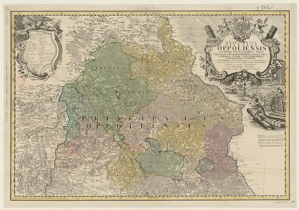
English: Map of the historical Duchy of Opole from the 18th century Deutsch: Karte des historischen Herzogtums Oppeln aus dem 18. Jahrhundert Čeština: Mapa historického Opolského knížectví ze 18. století Polski: Mapa historycznego księstwa opolskiego z XVIII wieku |
| Date | |
| Source | gallica.bnf.fr / Bibliothèque nationale de France |
| Author | Johann Wolfgang Wieland |
Licensing[edit]
|
This work is in the public domain in its country of origin and other countries and areas where the copyright term is the author's life plus 70 years or fewer. This work is in the public domain in the United States because it was published (or registered with the U.S. Copyright Office) before January 1, 1929. | |
| This file has been identified as being free of known restrictions under copyright law, including all related and neighboring rights. | |
File history
Click on a date/time to view the file as it appeared at that time.
| Date/Time | Thumbnail | Dimensions | User | Comment | |
|---|---|---|---|---|---|
| current | 19:42, 7 July 2020 | | 10,313 × 7,256 (18.12 MB) | Rumpyk (talk | contribs) | == {{int:filedesc}} == {{Information |description={{en|Map of the historical Duchy of Opole from the 18th century}}{{de|Karte des historischen Herzogtums Oppeln aus dem 18. Jahrhundert}}{{cs|Mapa historického Opolského knížectví ze 18. století}}{{pl|Mapa historycznego księstwa opolskiego z XVIII wieku}} |date=1736 |source=[https://gallica.bnf.fr/ark:/12148/btv1b530393369 gallica.bnf.fr] / Bibliothèque nationale de France |author=Johann Wolfgang Wieland |permission= |other versions= }} == {{i... |
You cannot overwrite this file.
File usage on Commons
There are no pages that use this file.
File usage on other wikis
The following other wikis use this file:
- Usage on pl.wikipedia.org