File:Przebieg DW 631 mapa.png
Jump to navigation
Jump to search

Size of this preview: 637 × 599 pixels. Other resolutions: 255 × 240 pixels | 510 × 480 pixels | 817 × 768 pixels | 1,089 × 1,024 pixels | 2,177 × 2,048 pixels | 2,828 × 2,660 pixels.
Original file (2,828 × 2,660 pixels, file size: 9.6 MB, MIME type: image/png)
Captions
Captions
Add a one-line explanation of what this file represents
Licensing
[edit]
| Description |
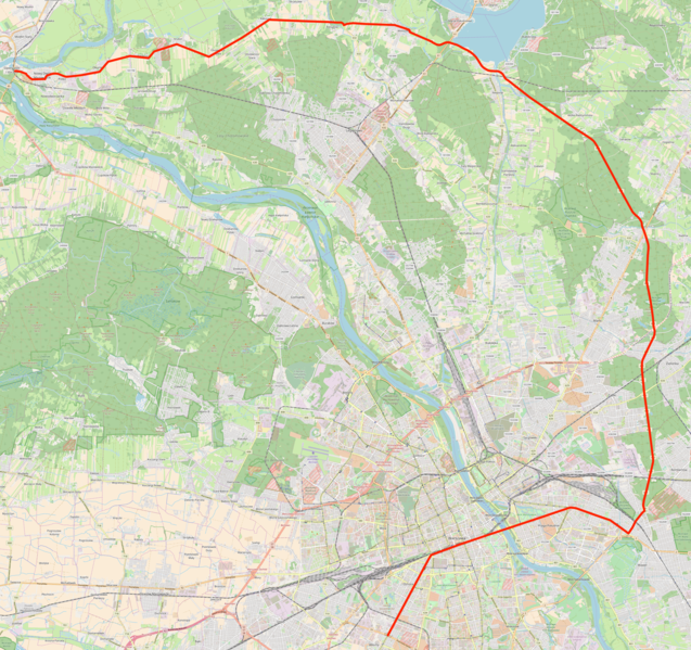
Polski: Mapa przebiegu drogi wojewódzkiej nr 631, woj. mazowieckie, Polska
English: Map of voivodeship road 631, Masovian Voivodeship, Poland |
|||
| Date | ||||
| Source | You may find a page on the OpenStreetMap wiki page for Droga wojewódzka nr 631 | |||
| Creator |
OpenStreetMap contributors (map), Crusier (text overlay) OpenStreetMap contributors |
|||
| Permission (Reusing this file) |
OpenStreetMap data is available under the Open Database License (details). Map tiles are licensed under the Creative Commons Attribution-ShareAlike 2.0 license (CC-BY-SA 2.0).
This file is licensed under the Creative Commons Attribution-Share Alike 2.0 Generic license.
|
|||
| Georeferencing | If inappropriate please set warp_status = skip to hide. |
File history
Click on a date/time to view the file as it appeared at that time.
| Date/Time | Thumbnail | Dimensions | User | Comment | |
|---|---|---|---|---|---|
| current | 09:58, 17 September 2017 | | 2,828 × 2,660 (9.6 MB) | Crusier (talk | contribs) | User created page with UploadWizard |
You cannot overwrite this file.
File usage on Commons
The following 4 pages use this file:
File usage on other wikis
The following other wikis use this file:
- Usage on lmo.wikipedia.org
- Usage on pl.wikipedia.org
- Usage on www.wikidata.org