File:Ptolemy, Soria et Terra Santa nuova tavola (FL199985836 2368942).jpg
Jump to navigation
Jump to search

Size of this preview: 800 × 532 pixels. Other resolutions: 320 × 213 pixels | 640 × 426 pixels | 1,024 × 682 pixels | 1,280 × 852 pixels | 2,560 × 1,704 pixels | 5,048 × 3,360 pixels.
Original file (5,048 × 3,360 pixels, file size: 6.43 MB, MIME type: image/jpeg)
Captions
Captions
Add a one-line explanation of what this file represents
Summary
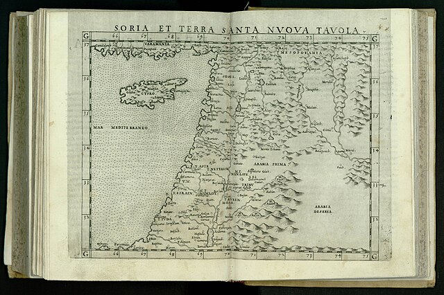
[edit]| Ptolemy: Soria et Terra Santa nuova tavola
( |
||||||||||||||||||||||||
|---|---|---|---|---|---|---|---|---|---|---|---|---|---|---|---|---|---|---|---|---|---|---|---|---|
| Artist |
| |||||||||||||||||||||||
| Contributors | Ziletti, Giordano, active 16th century Gastaldi, Giacomo, approximately 1500-approximately 1565 | |||||||||||||||||||||||
| Title |
Soria et Terra Santa nuova tavola |
|||||||||||||||||||||||
| Publisher |
Giordano Ziletti |
|||||||||||||||||||||||
| Description |
Soria et Terra Santa nuova tavola. |
|||||||||||||||||||||||
| Language | Latin | |||||||||||||||||||||||
| Publication date | 1564 | |||||||||||||||||||||||
| Dimensions | 182 × 240 mm (7.16 × 9.44 in) | |||||||||||||||||||||||
| Collection |
|
|||||||||||||||||||||||
| Current location |
|
|||||||||||||||||||||||
| Place of publication | Venice | |||||||||||||||||||||||
| search Merhav catalog | Venice | |||||||||||||||||||||||
| Notes | Copperplate; From: Ptolemaeus, Claudius, Geographia, Venezia, Giordano Ziletti, 1564. Map no. XXIIII Signum Aa, R 89 C 4.; Printed from the same block as the 1561 edition | |||||||||||||||||||||||
| IE PID | IE199985834 | |||||||||||||||||||||||
| Rosetta filename | FL199985836 | |||||||||||||||||||||||
| NNL item ID (P3959) | 990023689420205171 | |||||||||||||||||||||||
| search Merhav catalog | Latin, Ptolemy | |||||||||||||||||||||||
| search Merhav catalog | Twelve tribes of IsraelMapsGiordano Ziletti | |||||||||||||||||||||||
| Source/Photographer |
|
|||||||||||||||||||||||
| Other versions | ||||||||||||||||||||||||
| Jpg / Tif version |
|
|||||||||||||||||||||||


.jpg)

.jpg&action=edit§ion=1)
Licensing
[edit].jpg&action=edit§ion=2)
The copyright situation of this work is theoretically uncertain, because in the country of origin copyright lasts 70 years after the death of the author, and the date of the author's death is unknown. However, the date of creation of the work was over 120 years ago, and it is thus a reasonable assumption that the copyright has expired (see here for the community discussion). Do not use this template if the date of death of the author is known.
| |
| This file has been identified as being free of known restrictions under copyright law, including all related and neighboring rights. | |
File history
Click on a date/time to view the file as it appeared at that time.
| Date/Time | Thumbnail | Dimensions | User | Comment | |
|---|---|---|---|---|---|
| current | 22:00, 28 July 2023 | | 5,048 × 3,360 (6.43 MB) | Geagea (talk | contribs) | pattypan 22.03 |
You cannot overwrite this file.
File usage on Commons
The following page uses this file:
.jpg&oldid=850868989)