File:Puerto Rico departamentos 1886.jpg
Jump to navigation
Jump to search

Size of this preview: 800 × 531 pixels. Other resolutions: 320 × 212 pixels | 640 × 425 pixels | 1,024 × 680 pixels | 1,280 × 850 pixels | 2,250 × 1,494 pixels.
Original file (2,250 × 1,494 pixels, file size: 1.44 MB, MIME type: image/jpeg)
Captions
Captions
Add a one-line explanation of what this file represents

|
This file has been superseded by Mapa topográfico de la isla de Puerto Rico. LOC 98687140 (retocada).jpg. It is recommended to use the other file. Please note that deleting superseded images requires consent.
|
.jpg)
|
Summary
[edit]
| Description |
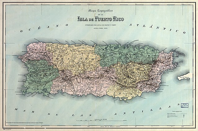
English: Map of Puerto Rico with Spanish colonial administrative subdivisions into departamentos — 1886. |
| Date | |
| Source | http://robertospuertorico.com/wp-content/uploads/2010/10/PR-Topo-1886-with-regions-in-color-225.jpg |
| Author | G.W. & C.B. Colton & Co. |
Licensing
[edit]
|
This work is in the public domain in its country of origin and other countries and areas where the copyright term is the author's life plus 100 years or fewer. This work is in the public domain in the United States because it was published (or registered with the U.S. Copyright Office) before January 1, 1929. | |
| This file has been identified as being free of known restrictions under copyright law, including all related and neighboring rights. | |
File history
Click on a date/time to view the file as it appeared at that time.
| Date/Time | Thumbnail | Dimensions | User | Comment | |
|---|---|---|---|---|---|
| current | 09:37, 21 June 2018 | | 2,250 × 1,494 (1.44 MB) | Ratzer (talk | contribs) | Reverted to version as of 20:27, 11 February 2011 (UTC) - new policy seems to be to keep such marks, as to identify unique prints |
| 07:25, 12 September 2015 |  | 2,250 × 1,494 (2.31 MB) | Hic et nunc (talk | contribs) | stamp removed by [https://de.wikipedia.org/w/index.php?title=Wikipedia%3AFotowerkstatt&type=revision&diff=145949796&oldid=145944730 request of the uploader] | |
| 20:27, 11 February 2011 |  | 2,250 × 1,494 (1.44 MB) | Ratzer (talk | contribs) | {{Information |Description ={{en|1=map of Puerto Rico with administrative subdivision into departamentos 1886}} |Source =http://robertospuertorico.com/wp-content/uploads/2010/10/PR-Topo-1886-with-regions-in-color-225.jpg |Author =? |Dat |
You cannot overwrite this file.
File usage on Commons
The following 2 pages use this file:
File usage on other wikis
The following other wikis use this file:
- Usage on ar.wikipedia.org
- Usage on azb.wikipedia.org
- Usage on de.wikipedia.org
- Usage on en.wikipedia.org
- Usage on es.wikipedia.org
- Usage on fr.wikipedia.org
- Usage on ka.wikipedia.org
- Usage on pt.wikipedia.org