File:Puu Oo - Aerial Kupaianaha 1987.jpg
Aller à la navigation
Aller à la recherche

Taille de cet aperçu : 800 × 534 pixels. Autres résolutions : 320 × 213 pixels | 640 × 427 pixels | 1 024 × 683 pixels.
Fichier d’origine (1 024 × 683 pixels, taille du fichier : 226 kio, type MIME : image/jpeg)
Légendes
Légendes
Ajoutez en une ligne la description de ce que représente ce fichier
| Description |
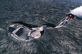
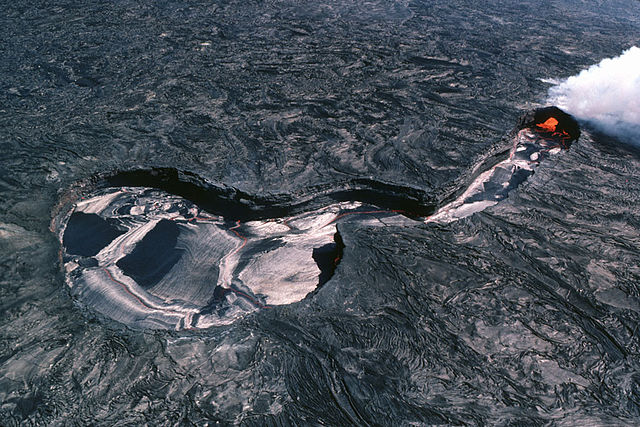
English: Aerial view of Kupaianaha lava pond. A vent beneath the broad area to the left supplies lava to the pond, which then flows down the long neck to the right. A lava tube at the end of the neck carries lava downslope. The entrance to the lava tube is visible at the end of the neck. |
| Date | |
| Source | USGS HVO |
| Auteur | J.D. Griggs |
Cette image est placée dans le domaine public parce qu'elle contient des éléments issus de l'United States Geological Survey, une agence du Département de l'Intérieur des États-Unis. Pour plus d'information, consultez la politique officielle de copyright de l'USGS (en anglais)
|
Historique du fichier
Cliquer sur une date et heure pour voir le fichier tel qu'il était à ce moment-là.
| Date et heure | Vignette | Dimensions | Utilisateur | Commentaire | |
|---|---|---|---|---|---|
| actuel | 3 juillet 2006 à 22:56 | | 1 024 × 683 (226 kio) | Mnh (d | contributions) | {{Information |Description= * '''en:''' Aerial view of Kupaianaha lava pond. A vent beneath the broad area to the left supplies lava to the pond, which then flows down the long neck to the right. A lava tube at the end of the neck carries lava downslope. |
Vous ne pouvez pas remplacer ce fichier.
Utilisations locales du fichier
Les 3 pages suivantes utilisent ce fichier :
Utilisations du fichier sur d’autres wikis
Les autres wikis suivants utilisent ce fichier :
- Utilisation sur de.wikipedia.org
- Utilisation sur fr.wikipedia.org
- Utilisation sur it.wikibooks.org
- Utilisation sur it.wikiversity.org