File:Pyrénées-Orientales department location map.svg
跳至導覽
跳至搜尋

此 SVG 檔案的 PNG 預覽的大小:800 × 492 像素。 其他解析度:320 × 197 像素 | 640 × 394 像素 | 1,024 × 630 像素 | 1,280 × 788 像素 | 2,560 × 1,576 像素 | 999 × 615 像素。
原始檔案 (SVG 檔案,表面大小:999 × 615 像素,檔案大小:1.19 MB)
說明
說明
添加單行說明來描述出檔案所代表的內容
摘要
[編輯]
| 描述 |
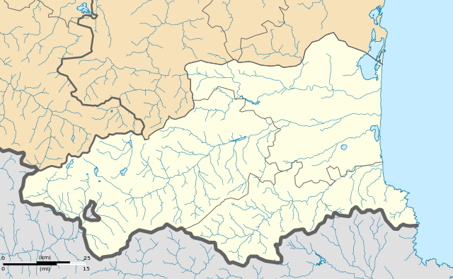
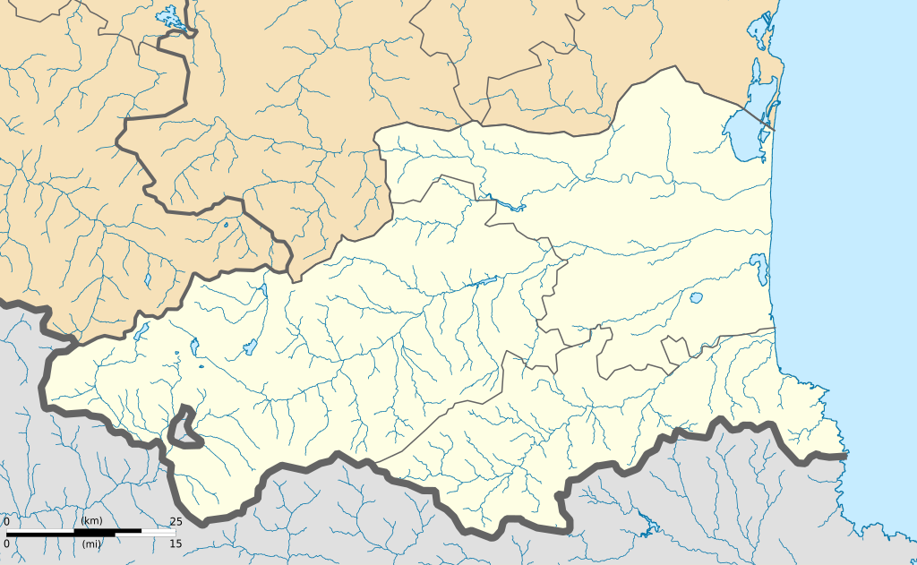
English: Blank administrative map of the department of Pyrénées-Orientales, France, for geo-location purpose. Français : Carte administrative vierge du département du Pyrénées-Orientales, France, destinée à la géolocalisation.
|
| 日期 | 06:16, 26 February 2013 (UTC) |
| 來源 |
自己的作品. English: Data sources:
Français : Sources des données :
|
| 作者 | |
| 其他版本 |
|
| 姓名標示 (由许可协议要求) | © Hawk-Eye / Wikimedia Commons / |
授權條款
[編輯]
此檔案採用創用CC 姓名標示-相同方式分享 3.0 未在地化版本授權條款。
姓名標示: © Hawk-Eye
- 您可以自由:
- 分享 – 複製、發佈和傳播本作品
- 重新修改 – 創作演繹作品
- 惟需遵照下列條件:
- 姓名標示 – 您必須指名出正確的製作者,和提供授權條款的連結,以及表示是否有對內容上做出變更。您可以用任何合理的方式來行動,但不得以任何方式表明授權條款是對您許可或是由您所使用。
- 相同方式分享 – 如果您利用本素材進行再混合、轉換或創作,您必須基於如同原先的相同或兼容的條款,來分布您的貢獻成品。
檔案歷史
點選日期/時間以檢視該時間的檔案版本。
| 日期/時間 | 縮圖 | 尺寸 | 使用者 | 備註 | |
|---|---|---|---|---|---|
| 目前 | 2013年2月26日 (二) 06:16 | | 999 × 615(1.19 MB) | Hawk-Eye(留言 | 貢獻) | == {{int:filedesc}} == {{Information |Description= {{Multilingual description |en= Blank administrative map of the department of Pyrénées-Orientales, France, for geo-location ... |
無法覆蓋此檔案。
檔案用途
下列頁面有用到此檔案:
全域檔案使用狀況
以下其他 wiki 使用了這個檔案:
- als.wikipedia.org 的使用狀況
- ca.wikipedia.org 的使用狀況
- Usuari:PereBot/cobertura/Pirineus Orientals districtes/ranking
- Usuari:PereBot/cobertura/Pirineus Orientals districtes/ca
- Usuari:PereBot/cobertura/Pirineus Orientals districtes/de
- Usuari:PereBot/cobertura/Pirineus Orientals districtes/en
- Usuari:PereBot/cobertura/Pirineus Orientals districtes/es
- Usuari:PereBot/cobertura/Pirineus Orientals districtes/eu
- Usuari:PereBot/cobertura/Pirineus Orientals districtes/fr
- Usuari:PereBot/cobertura/Pirineus Orientals districtes/it
- Usuari:PereBot/cobertura/Pirineus Orientals districtes/nl
- Usuari:PereBot/cobertura/Pirineus Orientals districtes/oc
- Usuari:PereBot/cobertura/Pirineus Orientals districtes/ru
- Usuari:PereBot/cobertura/Pirineus Orientals districtes/an
- Usuari:PereBot/cobertura/Pirineus Orientals districtes/ja
- Usuari:PereBot/cobertura/Pirineus Orientals districtes/zh
- Usuari:PereBot/cobertura/Pirineus Orientals districtes/no
- Usuari:PereBot/cobertura/Pirineus Orientals districtes/pl
- Mòdul:Location map/data/Pirineus Orientals
- Mòdul:Location map/data/Pirineus Orientals/ús
- de.wikipedia.org 的使用狀況
- eo.wikipedia.org 的使用狀況
- Perpinjano
- Prado de Kunflent'
- Vivès
- Elne
- Ŝablono:Situo sur mapo Francio Pyrénées-Orientales
- Collioure
- Argelès-sur-Mer
- Baho
- Bompas (Pyrénées-Orientales)
- Canohès
- Peyrestortes
- Pézilla-la-Rivière
- Pollestres
- Alénya
- Bages (Pyrénées-Orientales)
- Baixas
- Banyuls-dels-Aspres
- Le Barcarès
- Brouilla
- Boule-d'Amont
- Bouleternère
- Cabestany
- Calce
- Camélas
- Calmeilles
檢視此檔案的更多全域使用狀況。