File:Quan Hóa district location map.svg
Jump to navigation
Jump to search

Size of this PNG preview of this SVG file: 749 × 600 pixels. Other resolutions: 300 × 240 pixels | 600 × 480 pixels | 959 × 768 pixels | 1,279 × 1,024 pixels | 2,558 × 2,048 pixels | 2,234 × 1,789 pixels.
Original file (SVG file, nominally 2,234 × 1,789 pixels, file size: 3.08 MB)
Captions
Captions
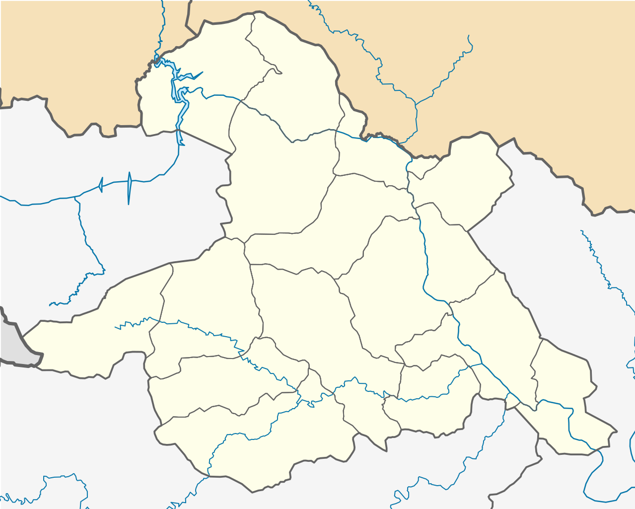
Location map of Quan Hóa district
Summary[edit]
| Description |
Tiếng Việt: Bản đồ định vị huyện Quan Hóa, tỉnh Thanh Hóa. Giới hạn địa lý:
English: Location map of Quan Hóa district, Thanh Hóa province. Geographic limits of the map:
|
| Date | |
| Source | Own work |
| Author | Bùi Lê Việt Cường |
Licensing[edit]
I, the copyright holder of this work, hereby publish it under the following license:
This file is licensed under the Creative Commons Attribution-Share Alike 4.0 International license.
- You are free:
- to share – to copy, distribute and transmit the work
- to remix – to adapt the work
- Under the following conditions:
- attribution – You must give appropriate credit, provide a link to the license, and indicate if changes were made. You may do so in any reasonable manner, but not in any way that suggests the licensor endorses you or your use.
- share alike – If you remix, transform, or build upon the material, you must distribute your contributions under the same or compatible license as the original.
File history
Click on a date/time to view the file as it appeared at that time.
| Date/Time | Thumbnail | Dimensions | User | Comment | |
|---|---|---|---|---|---|
| current | 18:18, 16 June 2023 | | 2,234 × 1,789 (3.08 MB) | Bùi Lê Việt Cường (talk | contribs) | Uploaded own work with UploadWizard |
You cannot overwrite this file.
File usage on Commons
The following 15 pages use this file:
- File:Hiền Chung in Quan Hóa district.svg
- File:Hiền Kiệt in Quan Hóa district.svg
- File:Hồi Xuân in Quan Hóa district.svg
- File:Nam Tiến in Quan Hóa district.svg
- File:Nam Xuân in Quan Hóa district.svg
- File:Nam Động in Quan Hóa district.svg
- File:Phú Lệ in Quan Hóa district.svg
- File:Phú Nghiêm in Quan Hóa district.svg
- File:Phú Sơn in Quan Hóa district.svg
- File:Phú Thanh in Quan Hóa district.svg
- File:Phú Xuân in Quan Hóa district.svg
- File:Thiên Phủ in Quan Hóa district.svg
- File:Thành Sơn in Quan Hóa district.svg
- File:Trung Sơn in Quan Hóa district.svg
- File:Trung Thành in Quan Hóa district.svg
File usage on other wikis
The following other wikis use this file:
- Usage on vi.wikipedia.org
- Quan Hóa
- Bản mẫu:Đơn vị hành chính thuộc huyện Quan Hóa
- Hiền Chung
- Hiền Kiệt
- Hồi Xuân
- Nam Động
- Nam Tiến, Quan Hóa
- Nam Xuân, Quan Hóa
- Phú Lệ
- Phú Nghiêm
- Phú Sơn, Quan Hóa
- Phú Thanh, Quan Hóa
- Phú Xuân, Quan Hóa
- Thành Sơn, Quan Hóa
- Thiên Phủ
- Trung Sơn, Quan Hóa
- Trung Thành, Quan Hóa
- Mô đun:Location map/data/Việt Nam Thanh Hóa Quan Hóa
- Mô đun:Location map/data/Việt Nam Thanh Hóa Quan Hóa/tài liệu
- Mô đun:Location map/data/Quan Hóa