File:Quebec municipalités 1965.png
Jump to navigation
Jump to search

Size of this preview: 800 × 480 pixels. Other resolutions: 320 × 192 pixels | 1,024 × 614 pixels | 1,280 × 768 pixels | 3,000 × 1,800 pixels.
Original file (3,000 × 1,800 pixels, file size: 128 KB, MIME type: image/png)
Captions
Captions
Municipalities of Quebec around 1965
Summary[edit]
| Description |
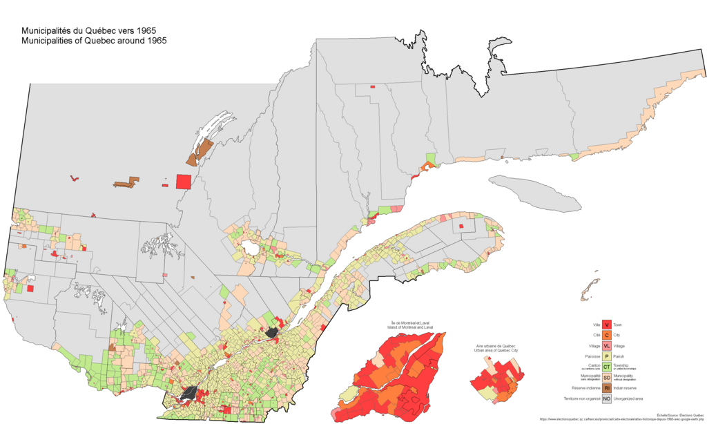
English: A map of the various lower-level local government units in Quebec as of around 1965. Based on Google Earth files provided by Elections Quebec.
Français : Une carte des divers unités municipales de bas niveau au Québec comme ils furent vers 1965. Basée sur des fiches Google Earth pourvues par Élections Québec. |
| Date | |
| Source | Own work |
| Author | Max96 |
Licensing[edit]
I, the copyright holder of this work, hereby publish it under the following license:
This file is licensed under the Creative Commons Attribution-Share Alike 4.0 International license.
- You are free:
- to share – to copy, distribute and transmit the work
- to remix – to adapt the work
- Under the following conditions:
- attribution – You must give appropriate credit, provide a link to the license, and indicate if changes were made. You may do so in any reasonable manner, but not in any way that suggests the licensor endorses you or your use.
- share alike – If you remix, transform, or build upon the material, you must distribute your contributions under the same or compatible license as the original.
File history
Click on a date/time to view the file as it appeared at that time.
| Date/Time | Thumbnail | Dimensions | User | Comment | |
|---|---|---|---|---|---|
| current | 13:37, 3 September 2022 | | 3,000 × 1,800 (128 KB) | Max96 (talk | contribs) | Corrected terminology in key |
| 20:24, 13 January 2021 |  | 3,000 × 1,800 (128 KB) | Max96 (talk | contribs) | Uploaded own work with UploadWizard |
You cannot overwrite this file.
File usage on Commons
There are no pages that use this file.
File usage on other wikis
The following other wikis use this file:
- Usage on en.wikipedia.org
- Usage on fr.wikipedia.org