File:RSG SRTM raw.png
Jump to navigation
Jump to search

Size of this preview: 800 × 536 pixels. Other resolutions: 320 × 214 pixels | 640 × 429 pixels | 1,024 × 686 pixels | 1,280 × 857 pixels | 2,560 × 1,714 pixels | 3,200 × 2,143 pixels.
Original file (3,200 × 2,143 pixels, file size: 10.99 MB, MIME type: image/png)
Captions
Captions
Add a one-line explanation of what this file represents
| Description |
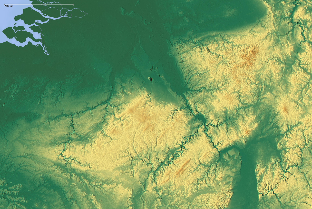
Deutsch: Genordete Reliefkarte des Rheinischen Schiefergebirges (RSG), grober Maßstab (100 km) oben links. |
| Date | |
| Source | Pure relief map from maps-for-free.com |
| Author | SRTM-Daten/maps-for-free.com |
| Permission (Reusing this file) |
GFDL |

|
Permission is granted to copy, distribute and/or modify this document under the terms of the GNU Free Documentation License, Version 1.2 or any later version published by the Free Software Foundation; with no Invariant Sections, no Front-Cover Texts, and no Back-Cover Texts. A copy of the license is included in the section entitled GNU Free Documentation License. |
| This file is licensed under the Creative Commons Attribution-Share Alike 3.0 Unported license. | ||
| ||
| This licensing tag was added to this file as part of the GFDL licensing update. |
File history
Click on a date/time to view the file as it appeared at that time.
| Date/Time | Thumbnail | Dimensions | User | Comment | |
|---|---|---|---|---|---|
| current | 15:45, 8 April 2009 | | 3,200 × 2,143 (10.99 MB) | Mahahahaneapneap (talk | contribs) | Compressed |
| 23:28, 10 September 2008 |  | 3,200 × 2,143 (16.75 MB) | Bdk (talk | contribs) | bigger version |
You cannot overwrite this file.
File usage on Commons
The following 2 pages use this file:
File usage on other wikis
The following other wikis use this file:
- Usage on li.wikipedia.org
- Usage on no.wikipedia.org