File:RU-MOS-Serpuhovsky-outline.svg

Original file (SVG file, nominally 630 × 475 pixels, file size: 687 KB)
Captions
Captions
Summary
[edit]
| Description |
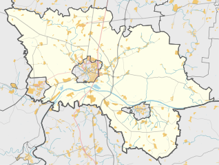
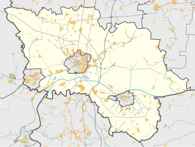
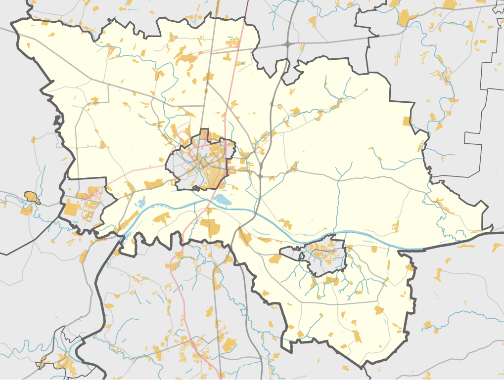
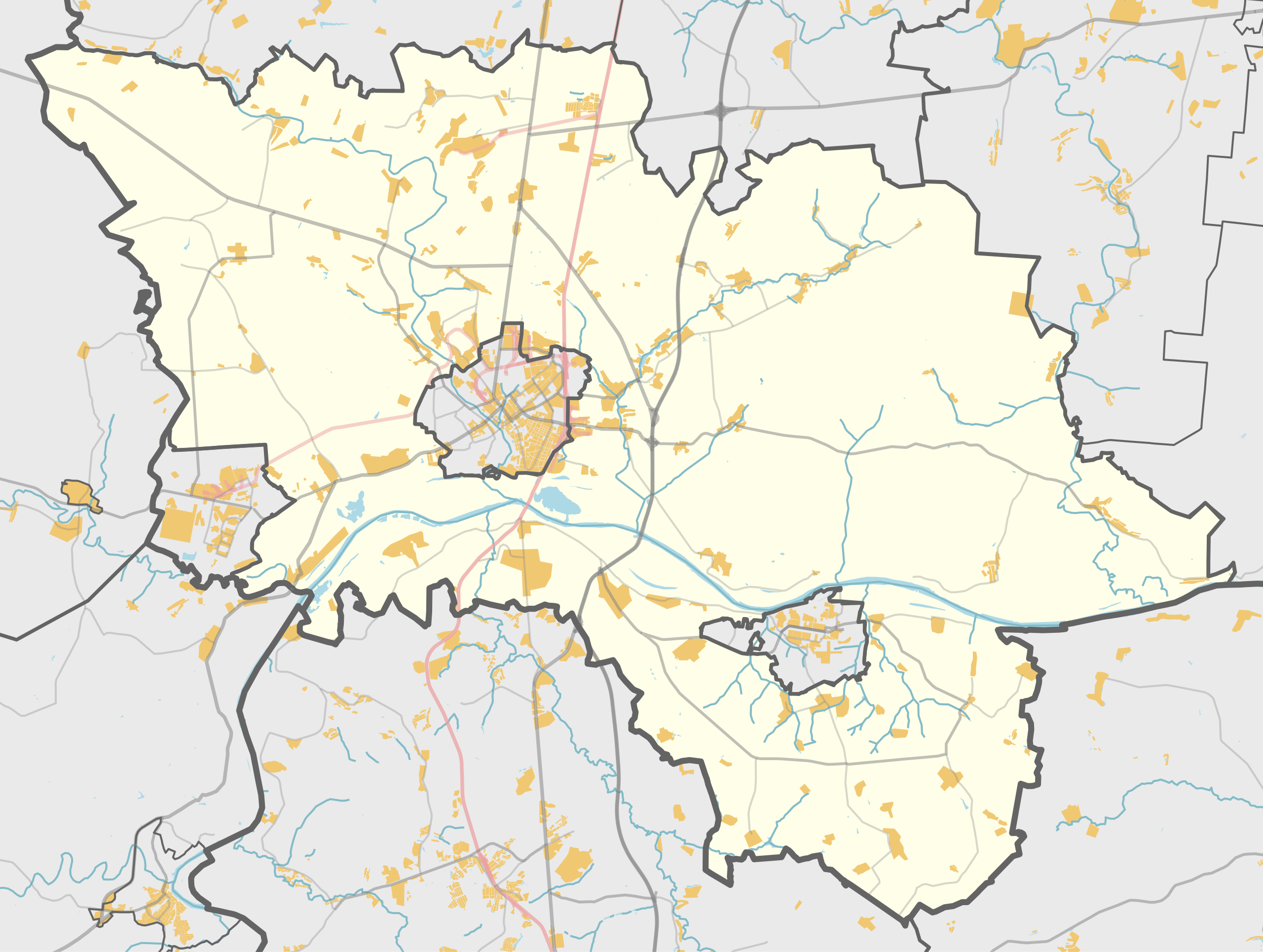
Русский: Карта, Серпуховский район Московской области. |
| Date | |
| Source | Own work using Maperitive tool on OpenStreetMap data, then Inkscape |
| Author | OpenStreetMap contributors & Nzeemin |
Licensing
[edit]
| Description |
This map was created from OpenStreetMap project data, collected by the community. This map may be incomplete, and may contain errors. Don't rely solely on it for navigation. |
|||
| Date | (see file history) | |||
| Source | openstreetmap.org | |||
| Creator |
OpenStreetMap contributors |
|||
| Permission (Reusing this file) |
OpenStreetMap data is available under the Open Database License (details). Map tiles are licensed under the Creative Commons Attribution-ShareAlike 2.0 license (CC-BY-SA 2.0).
This file is licensed under the Creative Commons Attribution-Share Alike 2.0 Generic license.
|
|||
| Georeferencing | If inappropriate please set warp_status = skip to hide. |
Details
[edit]
Maperitive commands:
set-geo-bounds 37.065,54.705,37.93,55.08
set-print-bounds-geo
zoom 10
export-svg compatibility=inkscape
File history
Click on a date/time to view the file as it appeared at that time.
| Date/Time | Thumbnail | Dimensions | User | Comment | |
|---|---|---|---|---|---|
| current | 20:24, 21 March 2014 | | 630 × 475 (687 KB) | Nzeemin (talk | contribs) | User created page with UploadWizard |
You cannot overwrite this file.
File usage on Commons
There are no pages that use this file.
File usage on other wikis
The following other wikis use this file:
- Usage on ru.wikipedia.org
- Серпуховский район
- Речма
- Боровна (приток Протвы)
- Жёрновка (Московская область)
- Подмоклово
- Посёлок дома отдыха «Авангард»
- Борисово (Серпуховский район)
- Райсемёновское
- Дракино (Московская область)
- Лукьяново (Серпуховский район)
- Турово (Серпуховский район)
- Елинка (приток Лопасни)
- Мирный (Серпуховский район)
- Игумново (Серпуховский район)
- Шарапова Охота
- Большое Грызлово
- Серпухов-13
- Серпейка (приток Нары)
- Верхнее Шахлово
- Ланьшино
- Сухменка
- Паниково
- Сушка (приток Оки)
- Незнайка (приток Восьмы)
- Пограничный (Московская область)
- Тоденка
- Шаблон:ПозКарта Россия Московская область Серпуховский район
- Проект:Графическая мастерская/Заявки/Архив/2014/03
- Щеболово
- Участник:Nzeemin/Карты/Районы
- Серпухов-12
- Дернополье
- Волково (городской округ Серпухов)
- Посёлок кирпичного завода (Серпуховский район)
- Ока (посёлок станции)
- Высокие Дворики
- Агарино (Серпуховский район)
- Аладьино (Серпуховский район)
- Волохово (Серпуховский район)
- Вязищи (Московская область)
- Глебово (Серпуховский район)
- Еськино (Серпуховский район)
- Зыбинка (Московская область)
- Каргашино (Московская область)
- Коптево (Московская область)
- Малое Грызлово
- Новоселки (сельское поселение Липицкое)
- Прончищево
- Семёновское (Серпуховский район)
- Сенькино (Серпуховский район)
View more global usage of this file.