File:Region München - Satellitenbild.jpg
跳至導覽
跳至搜尋

預覽大小:648 × 599 像素。 其他解析度:260 × 240 像素 | 519 × 480 像素 | 830 × 768 像素 | 1,107 × 1,024 像素 | 2,214 × 2,048 像素 | 5,726 × 5,296 像素。
原始檔案 (5,726 × 5,296 像素,檔案大小:4.1 MB,MIME 類型:image/jpeg)
說明
說明
添加單行說明來描述出檔案所代表的內容
| 描述 |
|
| 日期 | |
| 來源 |
Stitched together by Maximilian Dörrbecker (Chumwa), using |
| 作者 | NASA |
| 授權許可 (重用此檔案) |
我,本作品的著作權持有者,決定用以下授權條款發佈本作品: 此檔案採用創用CC 姓名標示-相同方式分享 2.5 通用版授權條款。
Sie dürfen das Bild zu den folgenden Bedingungen nutzen:
|
| 其他版本 |
|

| 註解 | 該圖片含有註解:在維基媒體共享資源上查看註解 |
檔案歷史
點選日期/時間以檢視該時間的檔案版本。
| 日期/時間 | 縮圖 | 尺寸 | 使用者 | 備註 | |
|---|---|---|---|---|---|
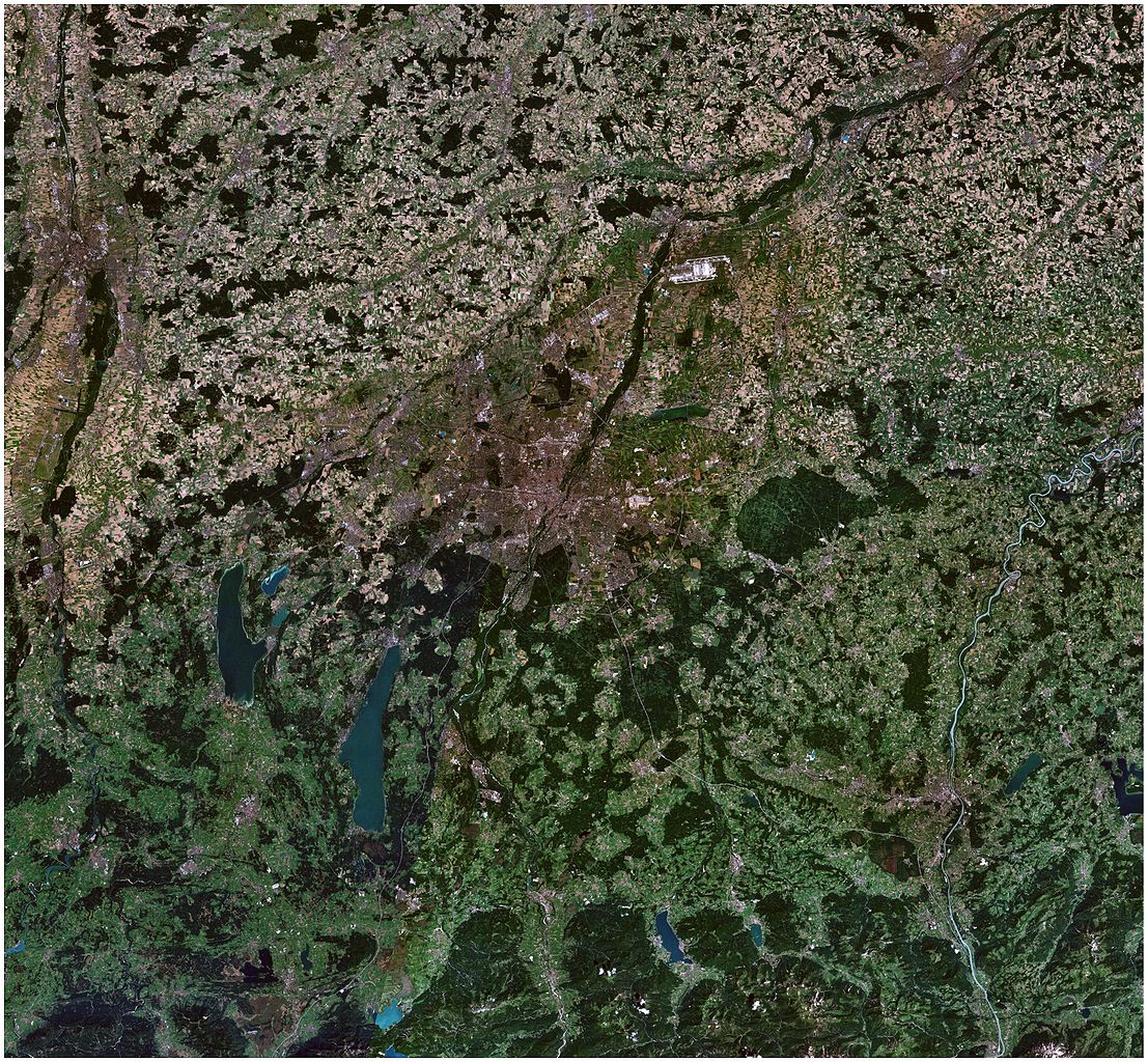
| 目前 | 2007年6月21日 (四) 22:09 | | 5,726 × 5,296(4.1 MB) | Chumwa(留言 | 貢獻) | {{Information |Description= *{{ de }} Satellitenbild der Region München *{{ en }} Satellite picture of the Munich region |Source=Stitched together by myself, using * [http://worldwind.arc.nasa.gov/ NASA World Wind satellite images] |Date=June 2007 |Autho |
無法覆蓋此檔案。
檔案用途
全域檔案使用狀況
以下其他 wiki 使用了這個檔案:
- ast.wikipedia.org 的使用狀況
- ca.wikipedia.org 的使用狀況
- de.wikipedia.org 的使用狀況
- en.wikipedia.org 的使用狀況
- hu.wikipedia.org 的使用狀況
- it.wikipedia.org 的使用狀況
- lmo.wikipedia.org 的使用狀況
- zh.wikipedia.org 的使用狀況