File:Road surface marking in Kaarli.JPG
Jump to navigation
Jump to search
Size of this preview: 800 × 450 pixels. Other resolutions: 320 × 180 pixels | 640 × 360 pixels | 1,024 × 576 pixels | 1,280 × 720 pixels | 2,560 × 1,440 pixels | 4,096 × 2,304 pixels.
Original file (4,096 × 2,304 pixels, file size: 3.64 MB, MIME type: image/jpeg)
Captions
Captions
Add a one-line explanation of what this file represents
Summary[edit]
| Description |
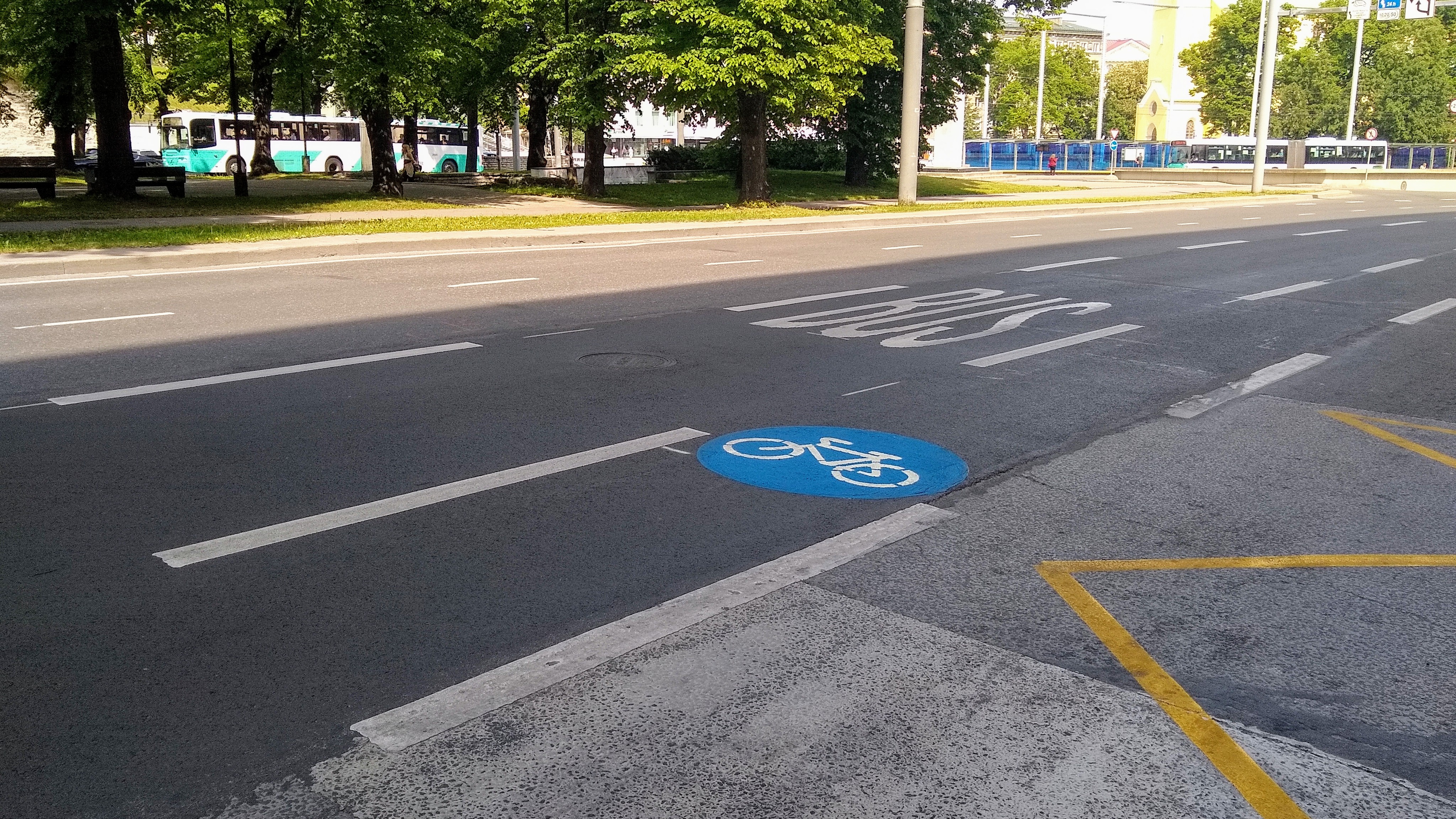
English: Kaarli puiestee in Tallinn, Estonia |
||
| Date | |||
| Source | Own work | ||
| Author | Dmitry G | ||
| Permission (Reusing this file) |
|
| Camera location | | View this and other nearby images on: OpenStreetMap |
|---|
File history
Click on a date/time to view the file as it appeared at that time.
| Date/Time | Thumbnail | Dimensions | User | Comment | |
|---|---|---|---|---|---|
| current | 07:26, 16 June 2020 | | 4,096 × 2,304 (3.64 MB) | Dmitry G (talk | contribs) | {{Information |Description={{en|1=Kaarli puiestee in Tallinn, Estonia}} |Source={{own}} |Date=2020-06-15 |Author= Dmitry G |Permission={{PD-self}} |other_versions= }} {{location dec|59.43265|24.74300}} Category:Cycle lanes Category:Kaarli puiestee Category:Bus lanes Category:June in Tallinn Category:Taken with Motorola Moto G6 |
You cannot overwrite this file.
File usage on Commons
There are no pages that use this file.
File usage on other wikis
The following other wikis use this file:
- Usage on et.wikipedia.org