File:Roc Blanc 08-02-2009.jpeg
Jump to navigation
Jump to search

Size of this preview: 800 × 600 pixels. Other resolutions: 320 × 240 pixels | 640 × 480 pixels | 1,024 × 768 pixels | 1,280 × 960 pixels | 1,600 × 1,200 pixels.
Original file (1,600 × 1,200 pixels, file size: 770 KB, MIME type: image/jpeg)
Captions
Captions
Add a one-line explanation of what this file represents
Summary[edit]
| Description |
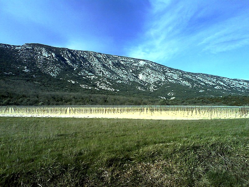
English: The Roc Blanc summit in South Cévennes
Français : Le sommet du Roc Blanc vu du versant sud entre Saint Jean de Buèges et Saint André de Buèges. Point culminant de la Montagne de la Séranne à 942 m |
| Date | 8 February 2009, 16:16:46 (according to Exif data) |
| Source | Own work |
| Author | PMPfromWDE |
Belle randonnée sur le versant sud (hiver) offrant quelques 800 mètres de dénivelée au départ de Saint André de Buèges avec une marche variée (pierriers en pente prononcée, sous bois, arête rocheuse et belles falaises, passage nécessitant un bon équipement et aucun vertige)
| Camera location | | View this and other nearby images on: OpenStreetMap |
|---|
Licensing[edit]
I, the copyright holder of this work, hereby publish it under the following licenses:

|
Permission is granted to copy, distribute and/or modify this document under the terms of the GNU Free Documentation License, Version 1.2 or any later version published by the Free Software Foundation; with no Invariant Sections, no Front-Cover Texts, and no Back-Cover Texts. A copy of the license is included in the section entitled GNU Free Documentation License. |
This file is licensed under the Creative Commons Attribution-Share Alike 4.0 International, 3.0 Unported, 2.5 Generic, 2.0 Generic and 1.0 Generic license.
- You are free:
- to share – to copy, distribute and transmit the work
- to remix – to adapt the work
- Under the following conditions:
- attribution – You must give appropriate credit, provide a link to the license, and indicate if changes were made. You may do so in any reasonable manner, but not in any way that suggests the licensor endorses you or your use.
- share alike – If you remix, transform, or build upon the material, you must distribute your contributions under the same or compatible license as the original.
You may select the license of your choice.
File history
Click on a date/time to view the file as it appeared at that time.
| Date/Time | Thumbnail | Dimensions | User | Comment | |
|---|---|---|---|---|---|
| current | 17:01, 10 February 2009 | | 1,600 × 1,200 (770 KB) | PMPfromWDE (talk | contribs) | {{Information |Description={{en|1=The Roc Blanc summit in South Cévennes}} {{fr|1=Le sommet du Roc Blanc vu du versant sud entre Saint Jean de Buèges et Saint André de Buèges. Point culminant de la Montagne de la Séranne à 942 m }} |Source=oeuvre pe |
You cannot overwrite this file.
File usage
There are no pages that use this file.
Global file usage
The following other wikis use this file:
- Usage on az.wikipedia.org
- Usage on be.wikipedia.org
- Usage on fr.wikipedia.org
- Usage on hy.wikipedia.org
- Usage on ka.wikipedia.org
- Usage on kk.wikipedia.org
- Usage on ru.wikipedia.org
- Usage on www.wikidata.org