File:Roxby Downs LGA.png
Jump to navigation
Jump to search
No higher resolution available.
Roxby_Downs_LGA.png (400 × 456 pixels, file size: 26 KB, MIME type: image/png)
Captions
Captions
Add a one-line explanation of what this file represents
Summary
[edit]
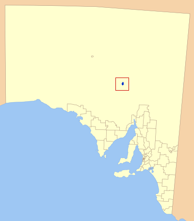
| Description | Map of South Australia showling the location of the Roxby Downs Local Government Area. A modification of GDFL map by Astrokey44; found here: File:SA_LGA_blank.png |
| Source | Own work |
| Author | Kare Kare |
Licensing
[edit]
| I, the copyright holder of this work, release this work into the public domain. This applies worldwide. In some countries this may not be legally possible; if so: I grant anyone the right to use this work for any purpose, without any conditions, unless such conditions are required by law. |
File history
Click on a date/time to view the file as it appeared at that time.
| Date/Time | Thumbnail | Dimensions | User | Comment | |
|---|---|---|---|---|---|
| current | 17:41, 22 October 2012 | | 400 × 456 (26 KB) | Osiris (talk | contribs) | uploader circled Coober Pedy, assuming it was a mistake |
| 06:15, 23 July 2007 |  | 400 × 456 (30 KB) | Kare Kare~commonswiki (talk | contribs) | {{Information |Description=Map of South Australia showling the location of the Roxby Downs Local Government Area. A modification of GDFL map by Astrokey44; found here: http://commons.wikimedia.org/wiki/Image:SA_LGA_blank.png |Source=self-made |Date= |Auth |
You cannot overwrite this file.
File usage on Commons
There are no pages that use this file.
File usage on other wikis
The following other wikis use this file:
- Usage on en.wikipedia.org
- Usage on fa.wikipedia.org
- Usage on fr.wikipedia.org
- Usage on it.wikipedia.org
- Usage on pt.wikipedia.org