File:Rudnik nad Sanem (gmina) location map.png

Original file (1,822 × 2,169 pixels, file size: 684 KB, MIME type: image/png)
Captions
Captions
Summary[edit]
_location_map.png&action=edit§ion=1)
| Description |
English: Location map |
| Date | |
| Source | Own work |
| Author | Smat |
| Description |
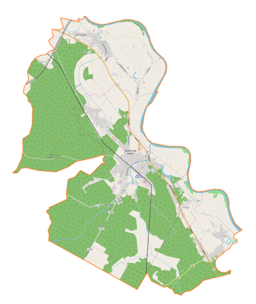
Polski: Mapa gminy Rudnik nad Sanem, Polska
English: Map of Rudnik nad Sanem (gmina), Poland |
|||||||||
| Date | ||||||||||
| Source | You may find a page on the OpenStreetMap wiki page for Rudnik nad Sanem (gmina) | |||||||||
| Creator |
OpenStreetMap contributors OpenStreetMap contributors |
|||||||||
| Permission (Reusing this file) |
OpenStreetMap data is available under the Open Database License (details). Map tiles are licensed under the Creative Commons Attribution-ShareAlike 2.0 license (CC-BY-SA 2.0).
This file is licensed under the Creative Commons Attribution-Share Alike 2.0 Generic license.
|
|||||||||
| Geotemporal data | ||||||||||
| Bounding box |
|
|||||||||
| Georeferencing | If inappropriate please set warp_status = skip to hide. | |||||||||
Licensing[edit]
_location_map.png&action=edit§ion=2)
| This work contains information from OpenStreetMap, which is made available under the Open Database License (ODbL).
The ODbL does not require any particular license for maps produced from ODbL data. Prior to 1 August 2020, map tiles produced by the OpenStreetMap Foundation were licensed under the CC-BY-SA-2.0 license. Maps produced by other people may be subject to other licences. |
File history
Click on a date/time to view the file as it appeared at that time.
| Date/Time | Thumbnail | Dimensions | User | Comment | |
|---|---|---|---|---|---|
| current | 10:09, 5 August 2018 | | 1,822 × 2,169 (684 KB) | Smat (talk | contribs) | User created page with UploadWizard |
You cannot overwrite this file.
File usage on Commons
There are no pages that use this file.
File usage on other wikis
The following other wikis use this file:
- Usage on pl.wikipedia.org
- Rudnik nad Sanem
- Przędzel
- Kopki (województwo podkarpackie)
- Chałupki (Kopki)
- Kolonia (Przędzel)
- Parafia Trójcy Przenajświętszej w Rudniku nad Sanem
- Rudnik nad Sanem (stacja kolejowa)
- Rudnik Stróża
- Parafia Najświętszej Maryi Panny Matki Kościoła w Rudniku nad Sanem
- Nowy cmentarz żydowski w Rudniku nad Sanem
- Stary cmentarz żydowski w Rudniku nad Sanem
- Parafia św. Marcina w Kopkach
- Borowina (przystanek kolejowy w województwie podkarpackim)
- Parafia Matki Bożej Bolesnej w Przędzelu
- Górka (Kopki)
- Kąty (Kopki)
- Komorniki (Kopki)
- Olszyna (Kopki)
- Podborze (Kopki)
- Wygoda (Kopki)
- Zagrody (Kopki)
- Zakościele (Kopki)
- Zakościele-Górka
- Borowina (Przędzel)
- Spalona Buda
- Błonie (Przędzel)
- Małki (Przędzel)
- Nowe Osiedle (Przędzel)
- Zagumnie (Przędzel)
- Zastawie (Przędzel)
- Kościół Trójcy Przenajświętszej w Rudniku nad Sanem
- Moduł:Mapa/dane/Rudnik nad Sanem (gmina)
- Moduł:Mapa/dane/Rudnik nad Sanem
- Kościół Najświętszej Maryi Panny Matki Kościoła w Rudniku nad Sanem
- Stróża (Rudnik nad Sanem)
- Kopki (Rudnik nad Sanem)
- Usage on pl.wikibooks.org
_location_map.png&oldid=704810057)