File:Ruta 23-CH km 85-500.jpg
Jump to navigation
Jump to search
Size of this preview: 800 × 600 pixels. Other resolutions: 320 × 240 pixels | 640 × 480 pixels | 1,024 × 768 pixels | 1,280 × 960 pixels | 2,592 × 1,944 pixels.
Original file (2,592 × 1,944 pixels, file size: 1.06 MB, MIME type: image/jpeg)
Captions
Captions
Add a one-line explanation of what this file represents
Summary
[edit]
| Description |
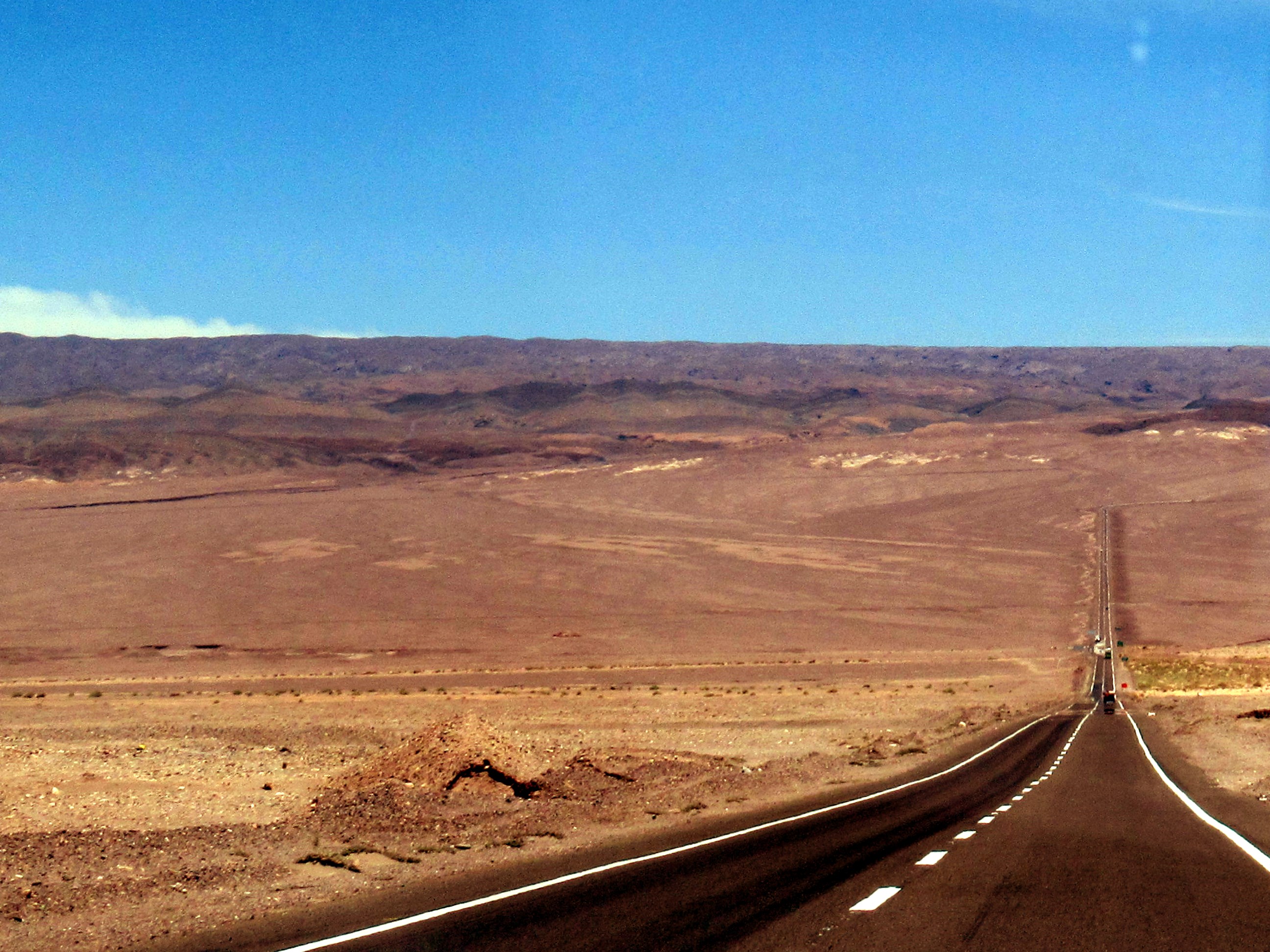
Deutsch: Ruta 23-CH, km 85,5, 2480 m ü.M.: Von der Cordillera de la Sal abwärts zu Llano de la Paciencia, San Pedro de Atacama.
Español: Ruta 23-CH, km 85,5, 2480 m s.n.m.: De la Cordillera de la Sal bajando al Llano de la Paciencia, San Pedro de Atacama.
English: Ruta 23-CH, km 85,5, 2480 m a.s.l.: Downwards from Cordillera de la Sal into Llano de la Paciencia, San Pedro de Atacama. |
| Date | Taken on 7 December 2017, 12:07:59 (according to Exif data) |
| Source | Own work |
| Author | WeHaKa |
| Permission (Reusing this file) |
This file is licensed under the Creative Commons Attribution-Share Alike 3.0 Unported license. Attribution: WeHaKa
|
| Camera location | | View this and other nearby images on: OpenStreetMap |
|---|
File history
Click on a date/time to view the file as it appeared at that time.
| Date/Time | Thumbnail | Dimensions | User | Comment | |
|---|---|---|---|---|---|
| current | 00:32, 30 July 2020 | | 2,592 × 1,944 (1.06 MB) | WeHaKa (talk | contribs) | {{Information |description = {{de|Ruta 23-CH, km 85,5, 2480 m ü.M.: Von der Cordillera de la Sal abwärts zu Llano de la Paciencia, San Pedro de Atacama. }} {{es|Ruta 23-CH, km 85,5, 2480 m s.n.m.: De la Cordillera de la Sal bajando al Llano de la Paciencia, San Pedro de Atacama. }} {{en|Ruta 23-CH, km 85,5, 2480 m a.s.l.: Downwards from Cordillera de la Sal into Llano de la Paciencia, San Pedro de Atacama. }} |date = {{Taken on|2017-12-07 12:07:59|source=EXIF|location=Chile}}... |
You cannot overwrite this file.
File usage on Commons
There are no pages that use this file.