File:Saint Kitts and Nevis relief location map.svg
Jump to navigation
Jump to search

Size of this PNG preview of this SVG file: 648 × 600 pixels. Other resolutions: 259 × 240 pixels | 519 × 480 pixels | 830 × 768 pixels | 1,106 × 1,024 pixels | 2,213 × 2,048 pixels | 1,264 × 1,170 pixels.
Original file (SVG file, nominally 1,264 × 1,170 pixels, file size: 137 KB)
Captions
Captions
Add a one-line explanation of what this file represents
Summary[edit]
| Description |
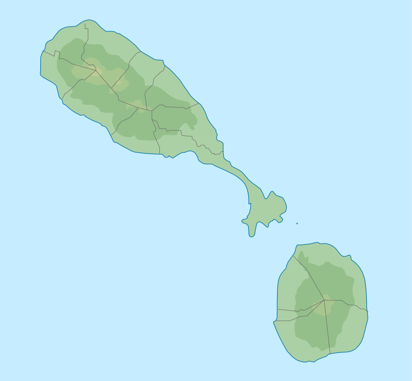
English: Location map of Saint Kitts and Nevis. Geographic limits of the map:
|
| Date | |
| Source |
Own work, transferred from el.wikipedia; transferred to Commons by User:MARKELLOS using CommonsHelper. + File:Saint Kitts and Nevis location map.svg |
| Author |
Αντιγόνη +Xfigpower+ Graphic made by Carport |
Licensing[edit]
This file is licensed under the Creative Commons Attribution-Share Alike 4.0 International license.
- You are free:
- to share – to copy, distribute and transmit the work
- to remix – to adapt the work
- Under the following conditions:
- attribution – You must give appropriate credit, provide a link to the license, and indicate if changes were made. You may do so in any reasonable manner, but not in any way that suggests the licensor endorses you or your use.
- share alike – If you remix, transform, or build upon the material, you must distribute your contributions under the same or compatible license as the original.
File history
Click on a date/time to view the file as it appeared at that time.
| Date/Time | Thumbnail | Dimensions | User | Comment | |
|---|---|---|---|---|---|
| current | 11:38, 12 November 2018 | | 1,264 × 1,170 (137 KB) | Xfigpower (talk | contribs) | User created page with UploadWizard |
You cannot overwrite this file.
File usage on Commons
There are no pages that use this file.
File usage on other wikis
The following other wikis use this file:
- Usage on bg.wikipedia.org
- Usage on de.wikipedia.org
- Booby Island (St. Kitts und Nevis)
- Vorlage:Positionskarte St. Kitts und Nevis
- Mount Liamuiga
- Nevis Peak
- Verchild’s Peak
- Olivees Mountain
- The Weir
- Camp Crater
- Monkey Hill (St. Kitts)
- Dos D’ane Pond
- Great Salt Pond (St. Kitts)
- Cow Rocks
- Greatheeds Pond
- Half Moon Pond
- Round Hill (Nevis)
- Saddle Hill (Nevis)
- Tower Hill (Nevis)
- Usage on es.wikipedia.org
- Usage on et.wikipedia.org
- Usage on fr.wikipedia.org
- Saint-Christophe (île)
- Niévès
- Bataille de Saint-Christophe
- Parc national de la forteresse de Brimstone Hill
- Modèle:Géolocalisation/Saint-Christophe-et-Niévès
- Projet:Cartographie/Géolocalisation/Maintenance/Images des pays
- Modèle:Géolocalisation/Saint-Christophe-et-Niévès/Documentation
- Mont Liamuiga
- Siège de Brimstone Hill
- Île Booby (Saint-Christophe-et-Niévès)
- Banque centrale des Caraïbes orientales
- Usage on lld.wikipedia.org
- Usage on nl.wikipedia.org
- Usage on pl.wikipedia.org
View more global usage of this file.