File:Saint Vincent and the Grenadines relief location map.jpg
跳转到导航
跳转到搜索

本预览的尺寸:477 × 599像素。 其他分辨率:191 × 240像素 | 382 × 480像素 | 611 × 768像素 | 1,060 × 1,332像素。
原始文件 (1,060 × 1,332像素,文件大小:194 KB,MIME类型:image/jpeg)
说明
说明
添加一行文字以描述该文件所表现的内容
| 描述 |
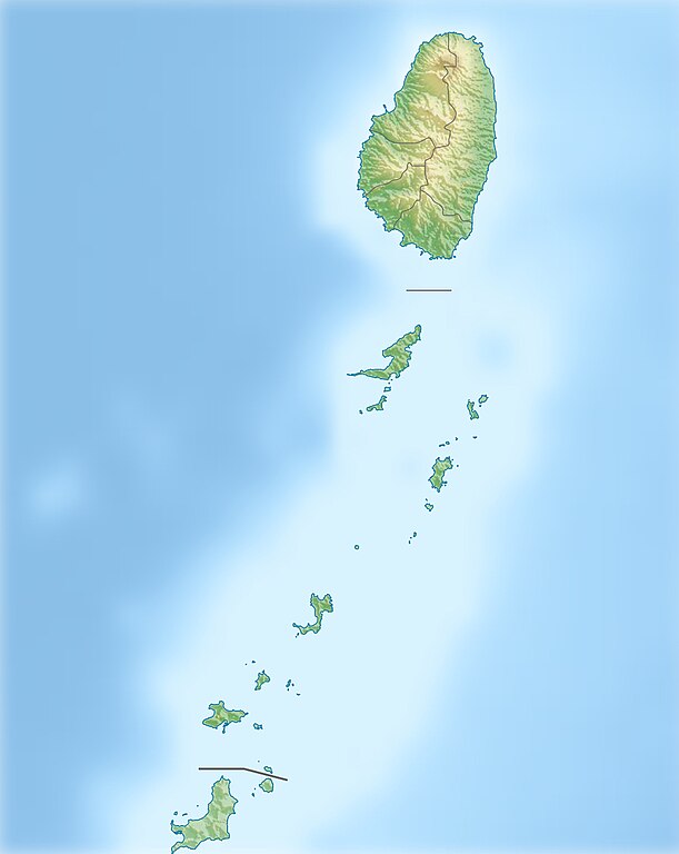
Deutsch: Physische Positionskarte von St. Vincent und die Grenadinen
Geographische Begrenzung der Karte:
English: Location map of Saint Vincent und the Grenadines
Geographic limits of the map:
|
| 日期 | |
| 来源 |
自己的作品, using
|
| 作者 | Carport |
| 授权 (二次使用本文件) |
本文件采用知识共享署名-相同方式共享 3.0 未本地化版本许可协议授权。
|
| 其他版本 |
|

文件历史
点击某个日期/时间查看对应时刻的文件。
| 日期/时间 | 缩略图 | 大小 | 用户 | 备注 | |
|---|---|---|---|---|---|
| 当前 | 2013年1月1日 (二) 10:52 | | 1,060 × 1,332(194 KB) | Carport(留言 | 贡献) | {{Information |Description= {{de|Physische Positionskarte von St. Vincent und die Grenadinen}} Geographische Begrenzung der Karte: * N: 13.42° N * S: 12.44° N * W: 61.7° W * O: 60.9° W {{en|Location map of [[:... |
您不可以覆盖此文件。
文件用途
全域文件用途
以下其他wiki使用此文件:
- ar.wikipedia.org上的用途
- ast.wikipedia.org上的用途
- az.wikipedia.org上的用途
- bg.wikipedia.org上的用途
- bn.wikipedia.org上的用途
- bs.wikipedia.org上的用途
- ceb.wikipedia.org上的用途
- da.wikipedia.org上的用途
- de.wikipedia.org上的用途
- St. Vincent und die Grenadinen
- Mustique
- Bequia
- Soufrière (St. Vincent)
- Union Island
- Canouan
- Tobago Cays
- Mayreau
- Palm Island (Grenadinen)
- Wikipedia:Kartenwerkstatt/Positionskarten/Nordamerika
- Petit St. Vincent
- Baliceaux
- Vorlage:Positionskarte St. Vincent und die Grenadinen
- Young Island (Grenadinen)
- Pigeon Island (Grenadinen)
- Saint Elairs Cay
- Samples Cay
- Grand Bonhomme
- All Awash Island
- Big Pillory
- Middle Pillory
- Little Pillory
- Rabbit Island (Grenadinen)
- Savan Island
- Little Savan
- Petit Canouan
- Petite Nevis
- Petite Mustique
- Isle à Quatre
- Wallilabou Bay
- Petit Bonhomme (St. Vincent)
- Mount Saint Andrew
- Milligan Cay
- Bettowia
- Church Cay
查看此文件的更多全域用途。