File:San Vicente de la Barquera, panorámica.jpg

Original file (10,568 × 2,767 pixels, file size: 5.2 MB, MIME type: image/jpeg)
Captions
Captions
Summary
[edit]
| Description |
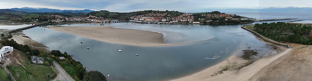
Español: Vista panorámica del núcleo de San Vicente de la Barquera y su ría desde la playa de La Maza |
| Date | |
| Source | Own work |
| Author | Luis Fermín TURIEL PEREDO |
| Camera location | | View this and other nearby images on: OpenStreetMap |
|---|
DJI Mavic 3E
Licensing
[edit]
Este archivo se encuentra bajo una licencia | Creative Commons — Reconocimiento-CompartirIgual 4.0 Internacional — CC BY-SA 4.0  This file is licensed under the Creative Commons Attribution-Share Alike 4.0 International license.
I, the copyright holder of this work, hereby publish it under the following license: This file is licensed under the Creative Commons Attribution-Share Alike 4.0 International license.
|
File history
Click on a date/time to view the file as it appeared at that time.
| Date/Time | Thumbnail | Dimensions | User | Comment | |
|---|---|---|---|---|---|
| current | 11:15, 17 December 2023 | 10,568 × 2,767 (5.2 MB) | Luis Fermín TURIEL PEREDO (talk | contribs) | Uploaded own work with UploadWizard |
You cannot overwrite this file.
File usage on Commons
The following 3 pages use this file:
File usage on other wikis
The following other wikis use this file:
- Usage on ar.wikipedia.org
- Usage on arz.wikipedia.org
- Usage on ast.wikipedia.org
- Usage on br.wikipedia.org
- Usage on ca.wikipedia.org
- Usage on ceb.wikipedia.org
- Usage on ce.wikipedia.org
- Usage on de.wikivoyage.org
- Usage on eo.wikipedia.org
- Usage on es.wikipedia.org
- Usage on eu.wikipedia.org
- Usage on gl.wikipedia.org
- Usage on hu.wikipedia.org
- Usage on hy.wikipedia.org
- Usage on ia.wikipedia.org
- Usage on it.wikivoyage.org
- Usage on ka.wikipedia.org
- Usage on lmo.wikipedia.org
- Usage on ru.wikipedia.org
- Usage on tt.wikipedia.org
- Usage on uz.wikipedia.org
- Usage on vec.wikipedia.org
- Usage on vi.wikipedia.org
- Usage on www.wikidata.org