File:Sandusky Ohio aerial view.jpg
Skočit na navigaci
Skočit na vyhledávání
Velikost tohoto náhledu: 800 × 533 pixelů. Jiná rozlišení: 320 × 213 pixelů | 640 × 426 pixelů | 1 024 × 682 pixelů | 1 500 × 999 pixelů.
Původní soubor (1 500 × 999 pixelů, velikost souboru: 761 KB, MIME typ: image/jpeg)
Popisky
Popisky
Přidejte jednořádkové vysvětlení, co tento soubor představuje
| Popis |
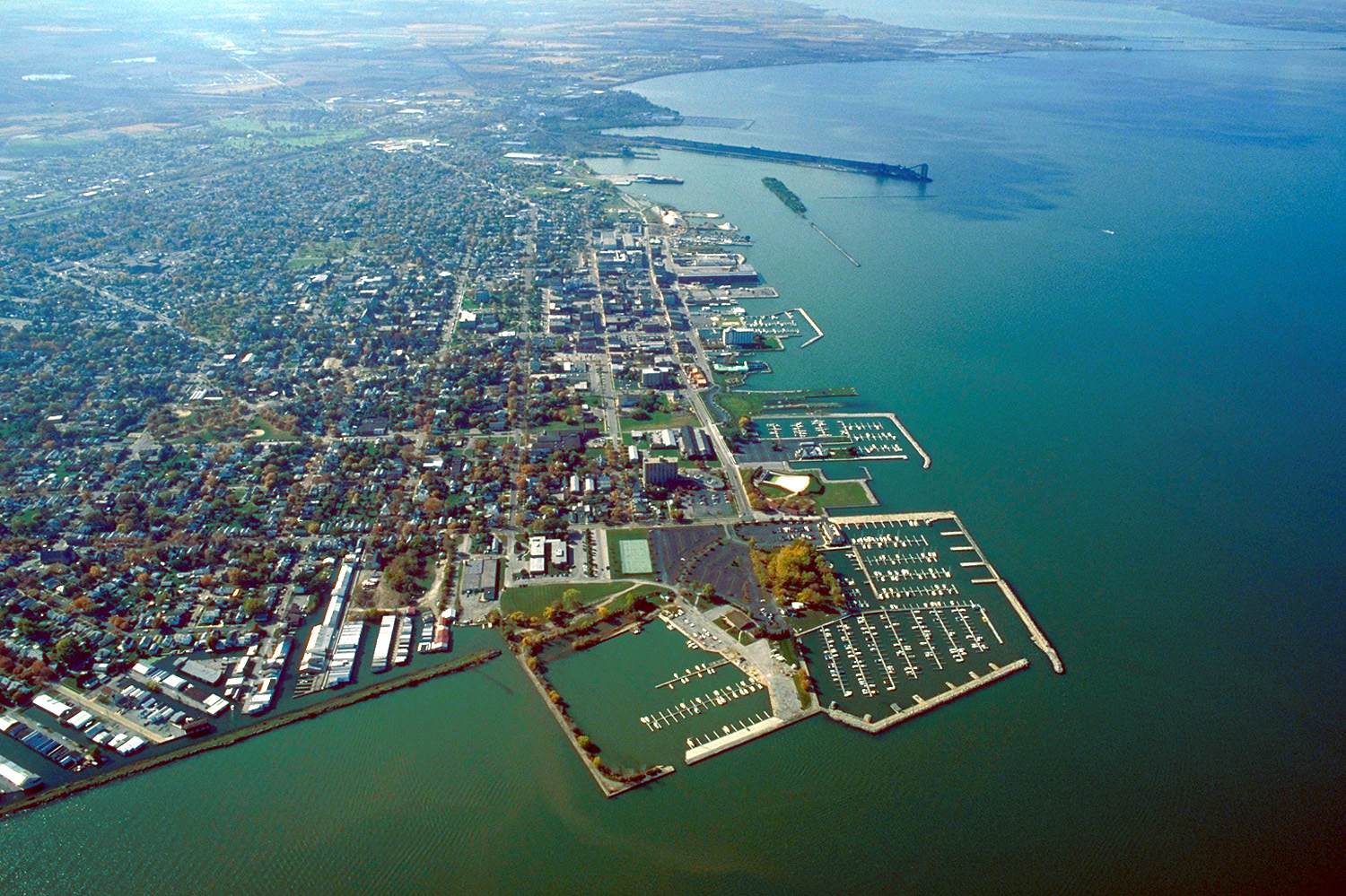
English: Aerial view of Sandusky, Ohio, USA. The view is to the west-southwest along the waterfront on Sandusky Bay, a large inlet and bay off of Lake Erie. |
|||
| Datum | ||||
| Zdroj |
U.S. Army Corps of Engineers Digital Visual Library Image page Image description page Digital Visual Library home page |
|||
| Autor | Ken Winters, U.S. Army Corps of Engineers | |||
| Svolení (Užití tohoto souboru) |
|
|||
| Umístění | Sandusky, Ohio, USA |
| Pozice fotografa | | Tento snímek a mnohé další na: OpenStreetMap |
|---|
Historie souboru
Kliknutím na datum a čas se zobrazí tehdejší verze souboru.
| Datum a čas | Náhled | Rozměry | Uživatel | Komentář | |
|---|---|---|---|---|---|
| současná | 24. 3. 2007, 21:44 | | 1 500 × 999 (761 KB) | DanMS (diskuse | příspěvky) | {{Information | Description = {{en|Aerial view of Sandusky, Ohio, USA. The view is to the west-southwest along the waterfront on Sandusky Bay, a large inlet and bay off of Lake Erie.}} | Source = U.S. Army Corps of Engineers Digital Visual Libr |
Tento soubor nemůžete přepsat.
Využití souboru
Na tento soubor neodkazuje na Commons žádná stránka.
Globální využití souboru
Tento soubor využívají následující wiki:
- Využití na azb.wikipedia.org
- Využití na ceb.wikipedia.org
- Využití na de.wikipedia.org
- Využití na en.wikinews.org
- Využití na es.wikipedia.org
- Využití na fa.wikipedia.org
- Využití na fi.wikipedia.org
- Využití na fr.wikipedia.org
- Využití na it.wikipedia.org
- Využití na ko.wikipedia.org
- Využití na pl.wikipedia.org
- Využití na pt.wikipedia.org
- Využití na ru.wikipedia.org
- Využití na sh.wikipedia.org
- Využití na simple.wikipedia.org
- Využití na sr.wikipedia.org
- Využití na sv.wikipedia.org
- Využití na szl.wikipedia.org
- Využití na tr.wikipedia.org
- Využití na uk.wikipedia.org
- Využití na uz.wikipedia.org
- Využití na zh-min-nan.wikipedia.org
- Využití na zh.wikipedia.org