File:Santa Maria Assunta, chiesa parrocchiale di Castagnara, Pietra de' Giorgi, Italia.jpg
Jump to navigation
Jump to search

Size of this preview: 435 × 599 pixels. Other resolutions: 174 × 240 pixels | 348 × 480 pixels | 919 × 1,266 pixels.
Original file (919 × 1,266 pixels, file size: 302 KB, MIME type: image/jpeg)
Captions
Captions
Add a one-line explanation of what this file represents
Summary
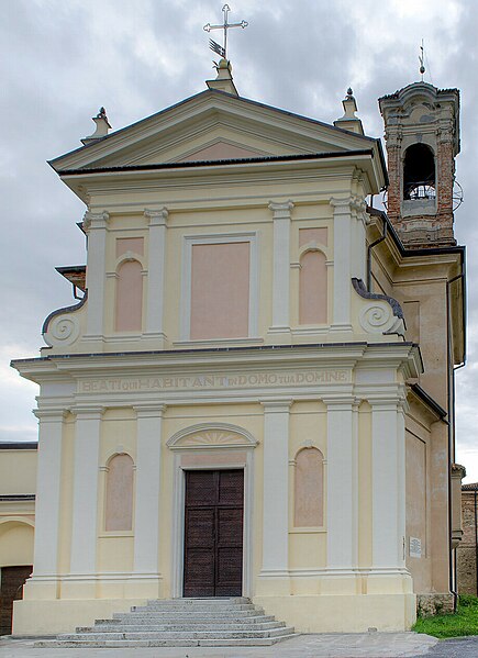
[edit]| Description | Parrocchia di Castagnara, da Ovest |
| Date | 27 May 2012 (original upload date) |
| Source | https://web.archive.org/web/20161026015812/http://www.panoramio.com/photo/72749997 |
| Author | Terensky |
| Permission (Reusing this file) |
This file is licensed under the Creative Commons Attribution 3.0 Unported license. Attribution: Terensky
|
| Other versions | |
| Tags (from Panoramio photo page) | Pietra De' Giorgi, edifici religiosi, Lombardia, Oltrepo Pavese, Pietra De' Giorgi |

| Camera location | | View this and other nearby images on: OpenStreetMap |
|---|
File history
Click on a date/time to view the file as it appeared at that time.
| Date/Time | Thumbnail | Dimensions | User | Comment | |
|---|---|---|---|---|---|
| current | 10:48, 11 April 2024 | | 919 × 1,266 (302 KB) | MrKeefeJohn (talk | contribs) | File:Parrocchia di Castagnara, da Ovest - panoramio.jpg cropped 34 % horizontally, 6 % vertically using CropTool with precise mode. |
You cannot overwrite this file.
File usage on Commons
The following 2 pages use this file:
File usage on other wikis
The following other wikis use this file:
- Usage on www.wikidata.org