File:Santo Antônio do Pinhal - State of São Paulo, Brazil - panoramio.jpg
Jump to navigation
Jump to search
Size of this preview: 800 × 600 pixels. Other resolutions: 320 × 240 pixels | 640 × 480 pixels | 1,024 × 768 pixels | 1,280 × 960 pixels | 1,600 × 1,200 pixels.
Original file (1,600 × 1,200 pixels, file size: 425 KB, MIME type: image/jpeg)
Captions
Captions
Add a one-line explanation of what this file represents
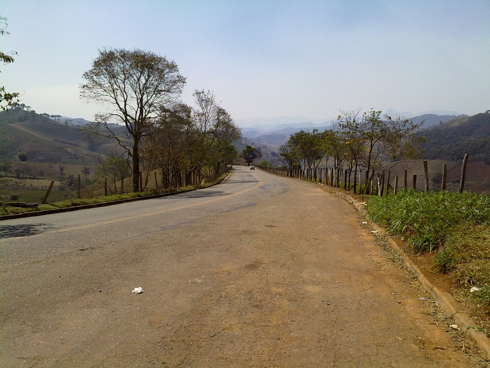
| Description | Santo Antônio do Pinhal - State of São Paulo, Brazil | ||
| Date | Taken on 28 August 2010 | ||
| Source | https://web.archive.org/web/20161017083405/http://www.panoramio.com/photo/41285257 | ||
| Author | Guilherme Peev dos S… | ||
| Permission (Reusing this file) |
This file is licensed under the Creative Commons Attribution 3.0 Unported license. Attribution: Guilherme Peev dos S…
|
||
| Tags (from Panoramio photo page) | Santo Antônio do Pinhal |
| Camera location | | View this and other nearby images on: OpenStreetMap |
|---|
File history
Click on a date/time to view the file as it appeared at that time.
| Date/Time | Thumbnail | Dimensions | User | Comment | |
|---|---|---|---|---|---|
| current | 08:38, 11 November 2016 | | 1,600 × 1,200 (425 KB) | Panoramio upload bot (talk | contribs) | {{Information |description=Santo Antônio do Pinhal - State of São Paulo, Brazil |date={{Taken on|2010-08-28}} |source=http://www.panoramio.com/photo/41285257 |author=[http://www.panoramio.com/user/3594034?with_photo_id=41285257 Guilherme Peev dos S... |
You cannot overwrite this file.
File usage on Commons
There are no pages that use this file.
File usage on other wikis
The following other wikis use this file:
- Usage on pt.wikipedia.org