File:Saskatchewan-census area 04.png
Jump to navigation
Jump to search

Size of this preview: 347 × 600 pixels. Other resolutions: 139 × 240 pixels | 379 × 655 pixels.
Original file (379 × 655 pixels, file size: 85 KB, MIME type: image/png)
Captions
Captions
Add a one-line explanation of what this file represents
Summary
[edit]
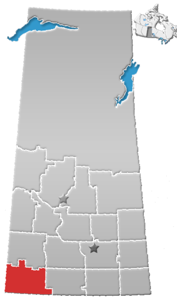
| Description | Saskatchewan census area No. 04 |
| Date | (UTC) |
| Source |
This file was derived from: SK-census divisions.png:  |
| Author |
|
| This is a retouched picture, which means that it has been digitally altered from its original version. The original can be viewed here: SK-census divisions.png:
|
Licensing
[edit]
I, the copyright holder of this work, hereby publish it under the following license:
| I, the copyright holder of this work, release this work into the public domain. This applies worldwide. In some countries this may not be legally possible; if so: I grant anyone the right to use this work for any purpose, without any conditions, unless such conditions are required by law. |
Original upload log
[edit]
This image is a derivative work of the following images:
- File:SK-census_divisions.png licensed with PD-self
Uploaded with derivativeFX
File history
Click on a date/time to view the file as it appeared at that time.
| Date/Time | Thumbnail | Dimensions | User | Comment | |
|---|---|---|---|---|---|
| current | 20:40, 1 August 2012 | | 379 × 655 (85 KB) | Feuerst (talk | contribs) | == {{int:filedesc}} == {{Information |Description=Saskatchewan census area No. 04 |Source={{Derived from|SK-census_divisions.png|display=50}} |Date=2012-08-01 20:31 (UTC) |Author=*File:SK-census_divisions.png: Qyd *derivative work: ... |
You cannot overwrite this file.
File usage on Commons
The following page uses this file:
File usage on other wikis
The following other wikis use this file:
- Usage on de.wikipedia.org
- Usage on en.wikipedia.org
- Val Marie
- Shaunavon, Saskatchewan
- Admiral, Saskatchewan
- Dollard, Saskatchewan
- Eastend
- Maple Creek, Saskatchewan
- Division No. 4, Saskatchewan
- Consul, Saskatchewan
- Climax, Saskatchewan
- Rural Municipality of Lone Tree No. 18
- Cadillac, Saskatchewan
- Rural Municipality of Arlington No. 79
- Robsart, Saskatchewan
- Crichton, Saskatchewan
- Govenlock
- Vidora
- Claydon, Saskatchewan
- Rural Municipality of Bone Creek No. 108
- Frontier, Saskatchewan
- Orkney, Saskatchewan
- Bracken, Saskatchewan
- Rural Municipality of Reno No. 51
- Senate, Saskatchewan
- Rural Municipality of Val Marie No. 17
- Rural Municipality of Frontier No. 19
- Rural Municipality of White Valley No. 49
- Rural Municipality of Piapot No. 110
- Piapot, Saskatchewan
- Rural Municipality of Wise Creek No. 77
- Rural Municipality of Maple Creek No. 111
- Rural Municipality of Grassy Creek No. 78
- South Fork, Saskatchewan
- Simmie, Saskatchewan
- Carmichael, Saskatchewan
- Rural Municipality of Carmichael No. 109
- Divide, Saskatchewan
- Fort Walsh
- Loomis, Saskatchewan
- Canuck, Saskatchewan
- Ravenscrag, Saskatchewan
- Scotsguard
- Nashlyn
- Rangeview
- Oxarat
- Palisade, Saskatchewan
- Instow, Saskatchewan
- Darlings Beach
- Blumenhof
- Rosefield, Saskatchewan
View more global usage of this file.