File:Schneesonne - panoramio.jpg
Jump to navigation
Jump to search

Size of this preview: 800 × 600 pixels. Other resolutions: 320 × 240 pixels | 640 × 480 pixels | 1,024 × 768 pixels | 1,280 × 960 pixels | 1,600 × 1,200 pixels.
Original file (1,600 × 1,200 pixels, file size: 502 KB, MIME type: image/jpeg)
Captions
Captions
Add a one-line explanation of what this file represents
| Description |
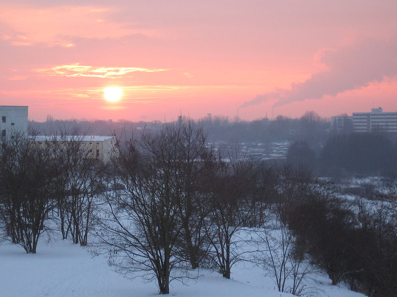
Deutsch: Berlin-Hellersdorf. Schnee, Sonnenuntergang und rosaroter Himmel. Blick aus der Nähe des Kummerower Rings, oberhalb des Regenrückhaltebeckens (RHB) Cecilienstraße, in das Wuhletal. Links am Bildrand sind die Gebäude der Feuerwache Hellersdorf zu sehen. Am rechten Bildrand ist auf Horizonthöhe das 'Seniorenheim Haus am Auwald', Buckower Ring 62, in Biesdorf zu erkennen.
|
||
| Date | Taken on 31 December 2005 | ||
| Source | https://web.archive.org/web/20161011000043/http://www.panoramio.com/photo/2317536 | ||
| Author | sakisafu.de | ||
| Permission (Reusing this file) |
This file is licensed under the Creative Commons Attribution-Share Alike 3.0 Unported license. Attribution: sakisafu.de
|
| Camera location | | View this and other nearby images on: OpenStreetMap |
|---|
File history
Click on a date/time to view the file as it appeared at that time.
| Date/Time | Thumbnail | Dimensions | User | Comment | |
|---|---|---|---|---|---|
| current | 16:14, 13 February 2015 | | 1,600 × 1,200 (502 KB) | Panoramio upload bot (talk | contribs) | {{Information |description=Schneesonne |date={{Taken on|2005-12-31}} |source=http://www.panoramio.com/photo/2317536 |author=[http://www.panoramio.com/user/486466?with_photo_id=2317536 sakisafu.de] |permission={{cc-by-sa-3.0|sakisafu.de}} {{Panoramiorev... |
You cannot overwrite this file.
File usage on Commons
There are no pages that use this file.