File:Secondary Tennessee 369.svg

Original file (SVG file, nominally 750 × 600 pixels, file size: 4 KB)
Captions
Captions
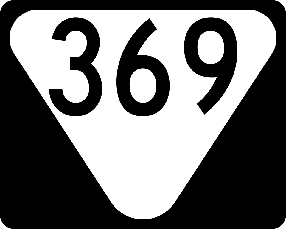
| Description | Tennessee Secondary State Route 369 |
| Source | Self Created using Inkscape |
| Author | Pepper6181 |
| Permission (Reusing this file) |
Own work, all rights released (Public domain) |
This file is in the public domain because it is prescribed by the Tennessee Supplement to the Manual on Uniform Traffic Control Devices, sign number T-S-8. The Tennessee Supplement states on page 1 that "The current edition of the United States Department of Transportation, Federal Highway Administration, Manual on Uniform Traffic Control Devices for Streets and Highways (MUTCD), 2009 Edition, is hereby adopted", in the legislation as of July 2012. The federal MUTCD states specifically on page I-1 that:
No provisions of the supplement supersede this provision of the MUTCD. |
[(TN Hwy 369, 9.29.06)385 Milton Wilson, 385 Memphis Arlington Rd, 385 Gulf Stream Rd, 70-79 Exit, 385 Long Rd(2), Stewart Exit, 385 Salem Rd, Brunswick Exit, 385 Pleasant Ridge Rd, 385 Donnell Rd, 14 Exit, 385 Sledge Rd, 204 Exit, Raleigh Millington Exit, 51 Exit]
[(TN Hwy 369, 9.26.06)412 McCullough Chapel Rd, 412 Rambo Rd, 412 Jenkinsville Jamestown, 78 Exit, 412 Parr Ave, 412 Hurricane Hill Rd, 51-412 Exit, 51 Fort Hudson Rd, 51 Hoss Everett Rd, 51 Church Grove Rd, 51 Williams St, 77 Exit, 51 Biffle Rd, 51 Sharps Ferry Rd, 51 Palestine Rd, 51 Locust Grove Rd, 105 Exit, 183 Exit, 51 Puckett Rd, 51 Marion Thompson Rd]
[MS Hwy 369, 9.22.09(278 Tallahatchie St, 49 Exit, 49 Little Simmons Rd, 278 Simmons Rd, 6-278 Exit, 49 Roberson Rd)]
[MS Hwy 369, 9.29.06(713 Green River Rd, 304-713 Exit, 304 Blue Lake Dr, 301 Exit, 304 Baldwin Rd, Fogg Exit, 304 Tulane Rd, 304 Odom Rd, 51 Hernando, 55 Exit)]
File history
Click on a date/time to view the file as it appeared at that time.
| Date/Time | Thumbnail | Dimensions | User | Comment | |
|---|---|---|---|---|---|
| current | 03:12, 25 September 2017 | | 750 × 600 (4 KB) | HWY Shield Bot (talk | contribs) | == {{int:filedesc}} == {{Information |Description=Tennessee secondary highway shields |Source=File:Secondary Tennessee 000 template.svg |Date={{subst:VI-time}} |Author=Tennessee Department of Transportation<br />Template: {{user|Fredddie}}<br />F... |
| 06:20, 25 November 2007 |  | 480 × 384 (10 KB) | Pepper6181 (talk | contribs) | {{Information |Description=Tennessee Secondary State Route 369 |Source=Self Created using Inkscape |Date= |Author=Pepper6181 |Permission=Own work, all rights released (Public domain) |other_versions= }} {{PD-self}} [[Category:Tennessee State Route shiel |
You cannot overwrite this file.
File usage on Commons
The following page uses this file:
File usage on other wikis
The following other wikis use this file:
- Usage on en.wikipedia.org
- List of state routes in Tennessee
- Wikipedia:WikiProject U.S. Roads/Redirects/Tennessee
- U.S. Route 70A (Tennessee)
- List of highways numbered 369
- Tennessee State Route 76
- U.S. Route 79 in Tennessee
- Tennessee State Route 368
- Tennessee State Route 54
- Tennessee State Route 370
- Tennessee State Route 369
- User:Fredddie/sandbox/TN
- User:Bramwellelijah7
- Usage on fr.wikipedia.org