File:Sennecey-le-Grand.jpg
Jump to navigation
Jump to search
Size of this preview: 400 × 600 pixels. Other resolutions: 160 × 240 pixels | 320 × 480 pixels | 512 × 768 pixels | 682 × 1,024 pixels | 1,365 × 2,048 pixels | 3,168 × 4,752 pixels.
Original file (3,168 × 4,752 pixels, file size: 7.68 MB, MIME type: image/jpeg)
Captions
Captions
Add a one-line explanation of what this file represents
| Description |
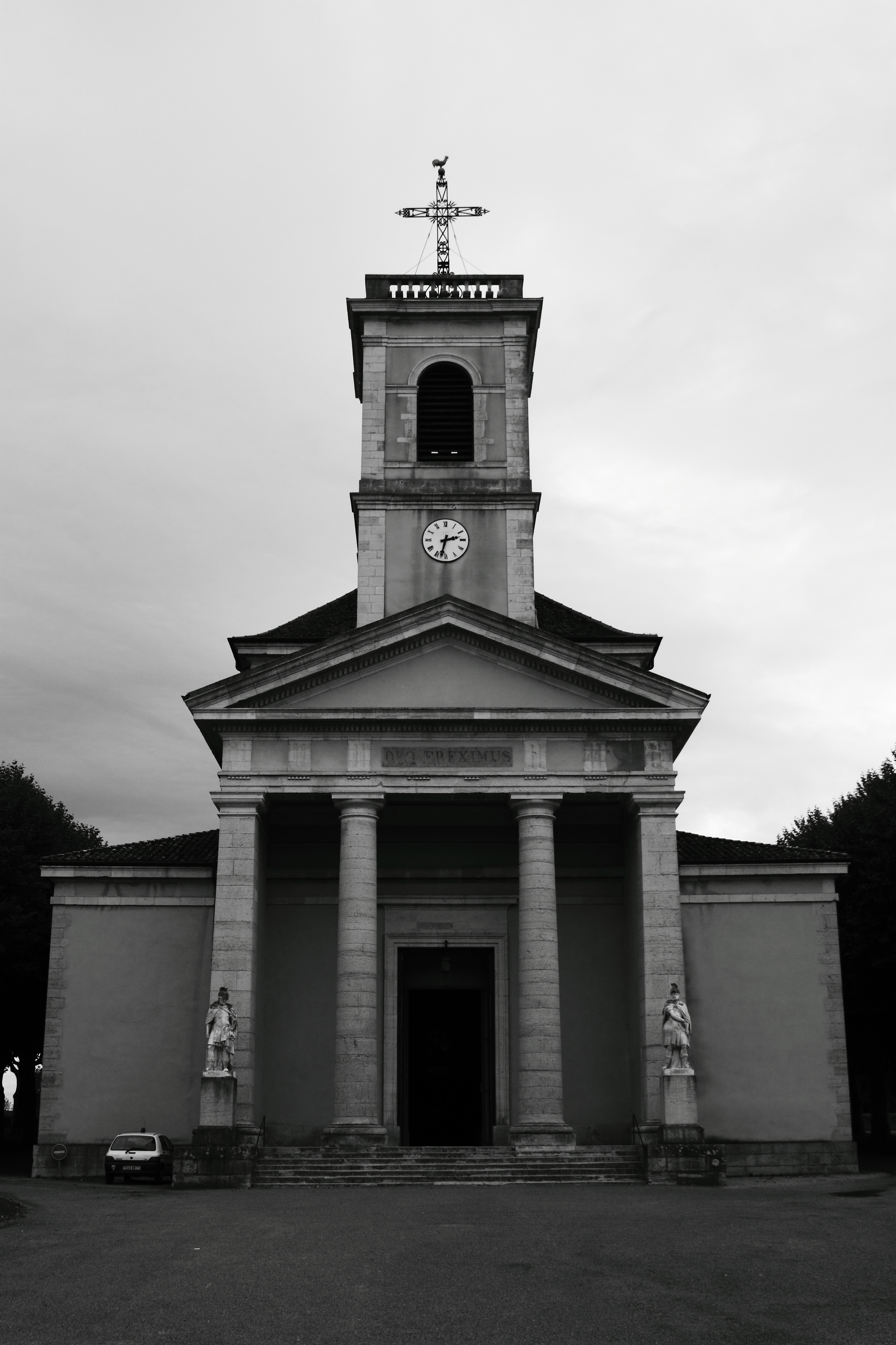
Le 4 septembre 1944: L’avant-garde de l’armée de Lattre dont le débarquement eût lieu le 15 août en Provence manqua de carburant. C’est à hauteur de Sennecey le Grand que les troupes alliées s’opposèrent aux troupes allemandes en reflux vers l’Alsace et équipés de canons et de blindés. La virulence des allemands provoqua de violents combats. A cela s’ajouta une succesion d’évènements malheureux comme cette bavure des avions américains entre Nanton et Vincelles (7 morts). Tous étaient maquisards. Ce n’est qu’en toute fin de journée que les colonnes allemandes sont repoussées vers le Nord pourchassées par l’aviation de chasse alliée. Le bilan fut meurtrier avec 1000 morts côté Allemands et plus d’une cinquataine côté alliés. Le 5 septembre c’est au tour de la ville de Chalon sur Saône située moins de 20 km plus au Nord d’être libérée. |
||
| Date | |||
| Source | Flickr: Sennecey-le-Grand | ||
| Author | troye owens | ||
| Permission (Reusing this file) |
This file is licensed under the Creative Commons Attribution-Share Alike 2.0 Generic license.
|
| Object location | | View this and other nearby images on: OpenStreetMap |
|---|
|
This building is inscrit au titre des monuments historiques de la France. It is indexed in the base Mérimée, a database of architectural heritage maintained by the French Ministry of Culture, under the reference PA00113556
|
File history
Click on a date/time to view the file as it appeared at that time.
| Date/Time | Thumbnail | Dimensions | User | Comment | |
|---|---|---|---|---|---|
| current | 15:26, 17 April 2012 | | 3,168 × 4,752 (7.68 MB) | Flickr upload bot (talk | contribs) | Uploaded from http://flickr.com/photo/33534994@N00/6308266445 using Flickr upload bot |
You cannot overwrite this file.
File usage on Commons
There are no pages that use this file.
File usage on other wikis
The following other wikis use this file:
- Usage on fr.wikipedia.org