File:Seven Mile Bridge, Florida Keys aerial (2003).jpg
Jump to navigation
Jump to search
Size of this preview: 800 × 533 pixels. Other resolutions: 320 × 213 pixels | 640 × 427 pixels | 1,024 × 683 pixels | 1,280 × 853 pixels | 2,100 × 1,400 pixels.
Original file (2,100 × 1,400 pixels, file size: 855 KB, MIME type: image/jpeg)
Captions
Captions
Add a one-line explanation of what this file represents
Summary[edit]
.jpg&action=edit§ion=1)
| Description |
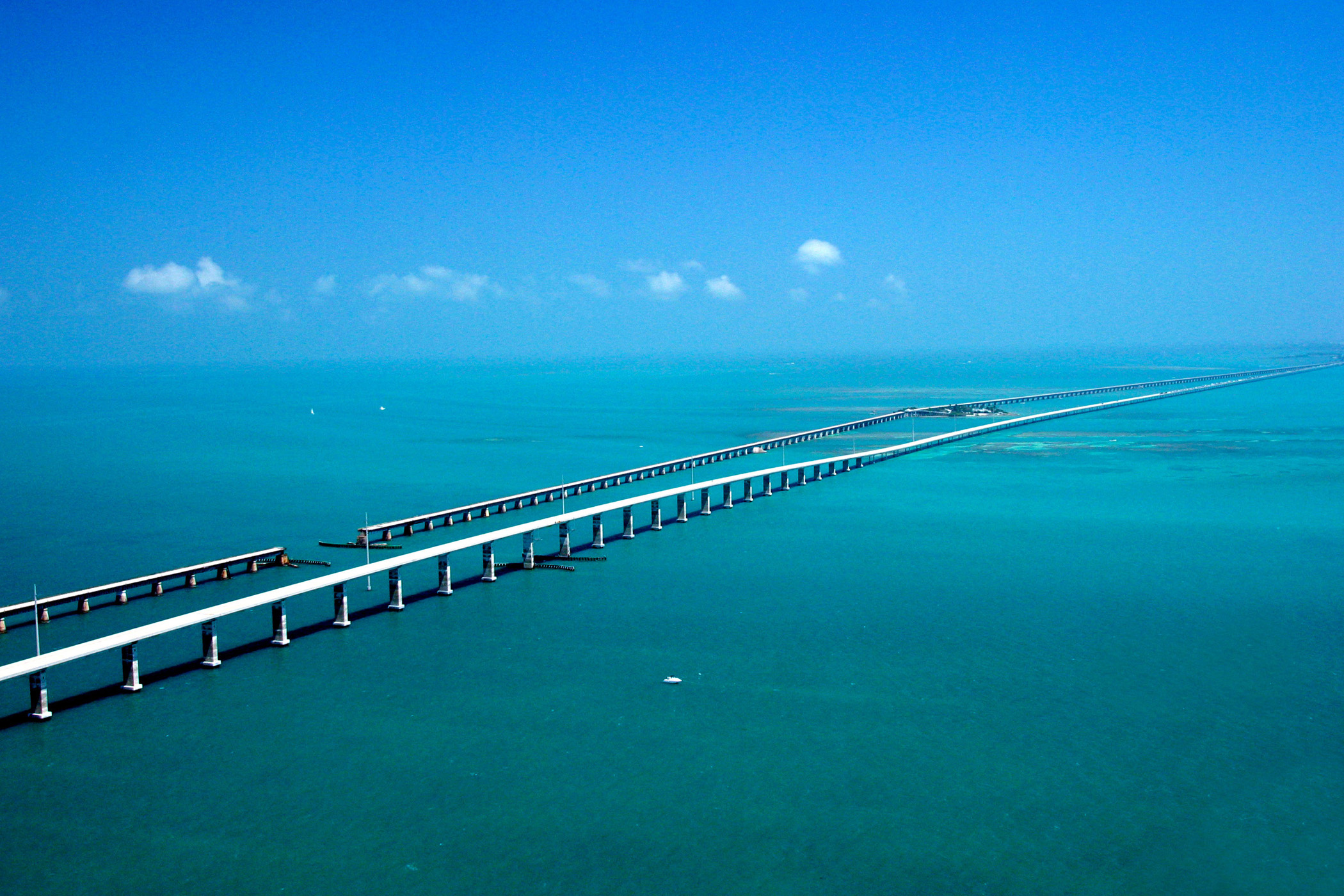
English: Seeming to converge in the distance, the Seven-mile Bridge on the Florida Keys Scenic Highway west of Marathon, FL, runs parallel to the historic Flagler railroad bridge of the early 1900s with the Atlantic Ocean to the South and the Gulf of Mexico to the North. |
| Date | |
| Source | http://www.fhwa.dot.gov/byways/photos/76001 |
| Author | United States Department of Transportation |
Licensing[edit]
.jpg&action=edit§ion=2)
| This image is a work of a United States Department of Transportation employee, taken or made as part of that person's official duties. As a work of the U.S. federal government, the image is in the public domain. |
File history
Click on a date/time to view the file as it appeared at that time.
| Date/Time | Thumbnail | Dimensions | User | Comment | |
|---|---|---|---|---|---|
| current | 15:18, 31 July 2011 | | 2,100 × 1,400 (855 KB) | Glabb (talk | contribs) |
You cannot overwrite this file.
File usage on Commons
The following 2 pages use this file:
- Commons:Files used on the AARoads Wiki/58
- File:Looooooong bridge.jpg (file redirect)
File usage on other wikis
The following other wikis use this file:
- Usage on cs.wikipedia.org
- Usage on de.wikipedia.org
- Usage on en.wikipedia.org
- Usage on pt.wikipedia.org
.jpg&oldid=779324549)