File:Seychelles Inner Islands.png
Salta a la navegació
Salta a la cerca
No hi ha cap versió amb una resolució més gran.
Seychelles_Inner_Islands.png (534 × 431 píxels, mida del fitxer: 19 Ko, tipus MIME: image/png)
Llegendes
Llegendes
Afegeix una explicació d'una línia del que representa aquest fitxer
| Descripció | |
| Data | |
| Font | own work based on a public domain map from Demis |
| Autor | Radosław Botev |
| Permís (Com reutilitzar aquest fitxer) |
public domain |
This image is in the public domain because it came from the site https://www.demis.nl/products/web-map-server/examples/ and was released by the copyright holder. Permission is granted to copy, distribute and/or modify this map since it is based on free of copyright images from: www.demis.nl. See also approval email on de.wp and its clarification.
|
| This work has been released into the public domain by its copyright holder, www.demis.nl. This applies worldwide. En alguns països això pot no ser legalment possible, en tal cas: www.demis.nl concedeix a tothom el dret d'usar aquesta obra per a qualsevol propòsit, sense cap condició llevat d'aquelles requerides per la llei.
|
This work is based on a work in the public domain. It has been digitally enhanced and/or modified. This derivative work has been (or is hereby) released into the public domain by its author, Botev. This applies worldwide.
In some countries this may not be legally possible; if so: |
Historial del fitxer
Cliqueu una data/hora per veure el fitxer tal com era aleshores.
| Data/hora | Miniatura | Dimensions | Usuari/a | Comentari | |
|---|---|---|---|---|---|
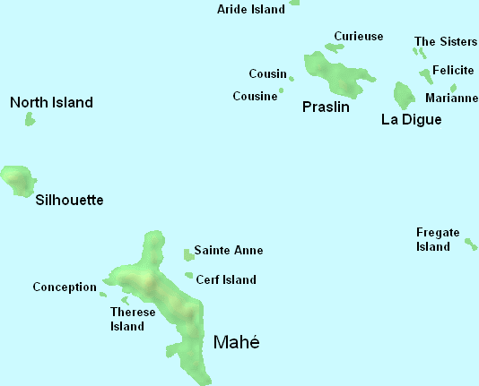
| actual | 00:35, 20 maig 2008 | | 534 × 431 (19 Ko) | Botev (discussió | contribucions) | {{Information |Description=Main islands in the Inner Islands group of Seychelles archipelago |Source=own work based on a public domain map from Demis |Date=May 20th, 2008 |Author=Radosław Botev |Permission=public domain |other_ |
No podeu sobreescriure aquest fitxer.
Ús del fitxer
No hi ha pàgines que utilitzin aquest fitxer.
Ús global del fitxer
Utilització d'aquest fitxer en altres wikis:
- Utilització a ca.wikipedia.org
- Utilització a en.wikipedia.org
- Utilització a sr.wikipedia.org
- Utilització a www.wikidata.org