File:Simpang Lima Semarang - panoramio (cropped).jpg
Jump to navigation
Jump to search

Size of this preview: 800 × 450 pixels. Other resolutions: 320 × 180 pixels | 640 × 360 pixels | 1,024 × 576 pixels | 1,280 × 720 pixels | 2,553 × 1,436 pixels.
Original file (2,553 × 1,436 pixels, file size: 492 KB, MIME type: image/jpeg)
Captions
Captions
Add a one-line explanation of what this file represents
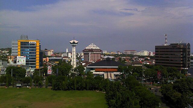
| Description | Simpang Lima Semarang |
| Date | Taken on 19 February 2011 |
| Source | https://web.archive.org/web/20161016180636/http://www.panoramio.com/photo/48384115 |
| Author | Muhammad Cordiaz |
| Permission (Reusing this file) |
This file is licensed under the Creative Commons Attribution-Share Alike 3.0 Unported license. Attribution: Muhammad Cordiaz
|
| Other versions | |
| Tags (from Panoramio photo page) | Semarang |

| Camera location | | View this and other nearby images on: OpenStreetMap |
|---|
.jpg¶ms=-06.992821_N_0110.421755_E_globe:Earth_type:camera_source:Panoramio_&language=en)
File history
Click on a date/time to view the file as it appeared at that time.
| Date/Time | Thumbnail | Dimensions | User | Comment | |
|---|---|---|---|---|---|
| current | 10:41, 17 April 2024 | | 2,553 × 1,436 (492 KB) | Baqotun0023 (talk | contribs) | File:Simpang Lima Semarang - panoramio.jpg cropped < 1 % horizontally, 25 % vertically using CropTool with precise mode. |
You cannot overwrite this file.
File usage on Commons
The following page uses this file:
File usage on other wikis
The following other wikis use this file:
- Usage on en.wikipedia.org
.jpg&oldid=869029130)