File:Singhasari.gif
Jump to navigation
Jump to search

Size of this preview: 800 × 439 pixels. Other resolutions: 320 × 176 pixels | 640 × 352 pixels | 1,024 × 563 pixels | 1,469 × 807 pixels.
Original file (1,469 × 807 pixels, file size: 26 KB, MIME type: image/gif)
Captions
Captions
Add a one-line explanation of what this file represents
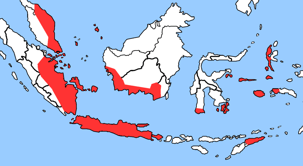
| Description | Map of Singahari |
| Date | (UTC) |
| Source | |
| Author |
|
| This is a retouched picture, which means that it has been digitally altered from its original version. The original can be viewed here: Indonesia provinces blank.png:
|
This file is licensed under the Creative Commons Attribution-Share Alike 3.0 Unported license.
- You are free:
- to share – to copy, distribute and transmit the work
- to remix – to adapt the work
- Under the following conditions:
- attribution – You must give appropriate credit, provide a link to the license, and indicate if changes were made. You may do so in any reasonable manner, but not in any way that suggests the licensor endorses you or your use.
- share alike – If you remix, transform, or build upon the material, you must distribute your contributions under the same or compatible license as the original.
Original upload log
[edit]
This image is a derivative work of the following images:
- File:Indonesia_provinces_blank.png licensed with Cc-by-2.5, Cc-by-sa-3.0-migrated, GFDL
- 2009-07-15T04:16:11Z EvanC0912 2000x848 (82976 Bytes) more islands and slightly wider angle
- 2006-01-08T07:54:56Z Golbez 2000x786 (22444 Bytes) Blank map of the provinces of Indonesia, useful for labeling in other languages. Made by [[User:Golbez]] based on a PD CIA map, using other sources to guesstimate the extent of West Irian Jaya and West Sulawesi. [[Category:
Uploaded with derivativeFX
File history
Click on a date/time to view the file as it appeared at that time.
| Date/Time | Thumbnail | Dimensions | User | Comment | |
|---|---|---|---|---|---|
| current | 17:09, 11 November 2010 | | 1,469 × 807 (26 KB) | Ges (talk | contribs) | crop |
| 16:17, 11 November 2010 |  | 2,000 × 848 (32 KB) | Ges (talk | contribs) | {{Information |Description=Map of Singahari |Source=*File:Indonesia_provinces_blank.png |Date=2010-11-11 16:14 (UTC) |Author=*File:Indonesia_provinces_blank.png: ? *derivative work: ~~~ |Permission= |other_versions= }} {{RetouchedPicture||edi |
You cannot overwrite this file.
File usage on Commons
There are no pages that use this file.
File usage on other wikis
The following other wikis use this file:
- Usage on ar.wikipedia.org
- Usage on da.wikipedia.org
- Usage on en.wikipedia.org
- Usage on fi.wikipedia.org
- Usage on fi.wikibooks.org
- Usage on sv.wikipedia.org
- Usage on ta.wikipedia.org
- Usage on vi.wikipedia.org