File:Skourta.jpg
Jump to navigation
Jump to search
Size of this preview: 800 × 600 pixels. Other resolutions: 320 × 240 pixels | 640 × 480 pixels | 1,024 × 768 pixels | 1,280 × 960 pixels | 1,600 × 1,200 pixels.
Original file (1,600 × 1,200 pixels, file size: 1.13 MB, MIME type: image/jpeg)
Captions
Captions
Add a one-line explanation of what this file represents
Summary[edit]
| Description |
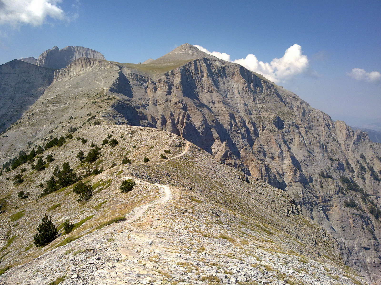
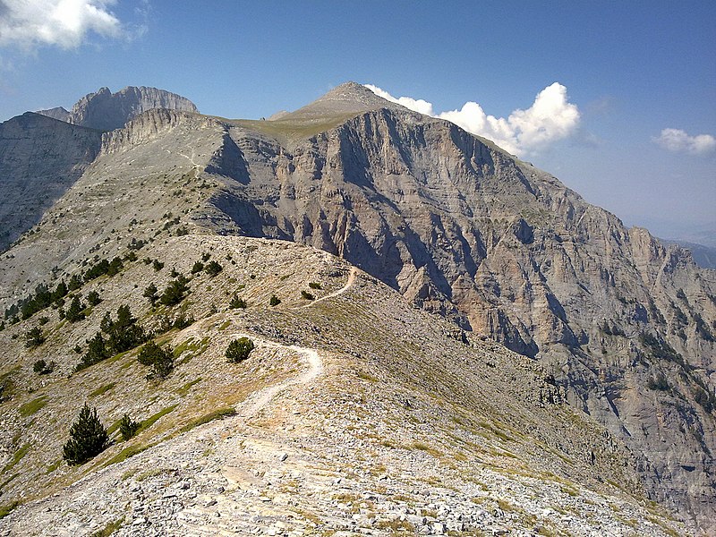
Ελληνικά: Οι ψηλές κορυφές του Ολύμπου από τη θέση Σκούρτα |
| Date | |
| Source |
Επί English: The peaks of Olympus as seen from Skourta τόπου φωτογράφηση |
| Author |
Cristo Vlahos. Cyverius at Greek Wikipedia |
| Camera location | | View this and other nearby images on: OpenStreetMap |
|---|
Licensing[edit]

|
The copyright holder of this file allows anyone to use it for any purpose, provided that the copyright holder is properly attributed. Redistribution, derivative work, commercial use, and all other use is permitted. |
|
|
Original upload log[edit]
Transferred from el.wikipedia to Commons by C messier using CommonsHelper.
The original description page was here. All following user names refer to el.wikipedia.
- 2010-08-27 17:54 Cyverius 1600×1200× (1188614 bytes) {{Πληροφορίες εικόνας |Περιγραφή=Οι ψηλές κορυφές του Ολύμπου από τη θέση Σκούρτα |Πηγή=Επί τόπου φωτογράφηση |Ημερομηνία=26-08-2010 |Δημιουργός=
File history
Click on a date/time to view the file as it appeared at that time.
| Date/Time | Thumbnail | Dimensions | User | Comment | |
|---|---|---|---|---|---|
| current | 16:28, 30 December 2013 | | 1,600 × 1,200 (1.13 MB) | File Upload Bot (Magnus Manske) (talk | contribs) | Transfered from el.wikipedia by User:C messier using CommonsHelper |
You cannot overwrite this file.
File usage
There are no pages that use this file.
Global file usage
The following other wikis use this file:
- Usage on ca.wikipedia.org
- Usage on de.wikivoyage.org
- Usage on el.wikipedia.org
- Usage on en.wikipedia.org
- Usage on en.wikivoyage.org
- Usage on fi.wikipedia.org
- Usage on hyw.wikipedia.org
- Usage on ro.wikipedia.org
- Usage on sl.wikipedia.org
- Usage on sq.wikipedia.org
- Usage on vi.wikipedia.org