File:Snowbowl at Sunset-Fall 2021.jpg
Jump to navigation
Jump to search

Size of this preview: 800 × 450 pixels. Other resolutions: 320 × 180 pixels | 640 × 360 pixels | 1,024 × 576 pixels | 1,280 × 720 pixels | 2,560 × 1,440 pixels | 5,344 × 3,006 pixels.
Original file (5,344 × 3,006 pixels, file size: 2.88 MB, MIME type: image/jpeg)
Captions
Captions
Add a one-line explanation of what this file represents
Summary
[edit]
| Description |
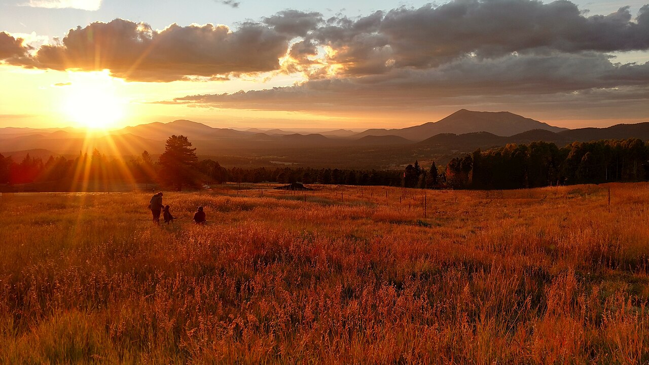
English: Arizona Snowbowl looking downhill (West) at Sunset along the Humphrey's Peak Trail near Hart Prairie Lift #2 |
| Date | |
| Source | Photograph taken by English Wikipedia editor User:McChizzle using a smartphone camera. |
| Author | User:McChizzle |
| Permission (Reusing this file) |
This file is licensed under the Creative Commons Attribution-Share Alike 4.0 International license. Attribution: w:User:McChizzle
|
| Camera location | | View this and other nearby images on: OpenStreetMap |
|---|
File history
Click on a date/time to view the file as it appeared at that time.
| Date/Time | Thumbnail | Dimensions | User | Comment | |
|---|---|---|---|---|---|
| current | 15:58, 20 December 2021 | | 5,344 × 3,006 (2.88 MB) | McChizzle (talk | contribs) | Magic Eraser |
| 17:03, 18 October 2021 |  | 5,344 × 3,006 (3.98 MB) | McChizzle (talk | contribs) | Reverted to version as of 14:59, 16 October 2021 (UTC) | |
| 16:58, 18 October 2021 |  | 5,344 × 3,006 (4.38 MB) | McChizzle (talk | contribs) | Exposure adjustment | |
| 14:59, 16 October 2021 |  | 5,344 × 3,006 (3.98 MB) | McChizzle (talk | contribs) | == Summary == {{Information |description=Arizona Snowbowl looking downhill (West) from the base of the ski lift at Sunset |source=Photograph taken by English Wikipedia editor User:McChizzle using a smartphone camera. |date=3 October 2021 |author=User:McChizzle |permission={{PD-user|McChizzle}} |other_versions= }} |
You cannot overwrite this file.
File usage on Commons
There are no pages that use this file.
File usage on other wikis
The following other wikis use this file:
- Usage on en.wikipedia.org