File:Sokołów Małopolski location map.png
Original file (2,207 × 1,778 pixels, file size: 1.46 MB, MIME type: image/png)
Captions
Captions
Summary
[edit]
| Description |
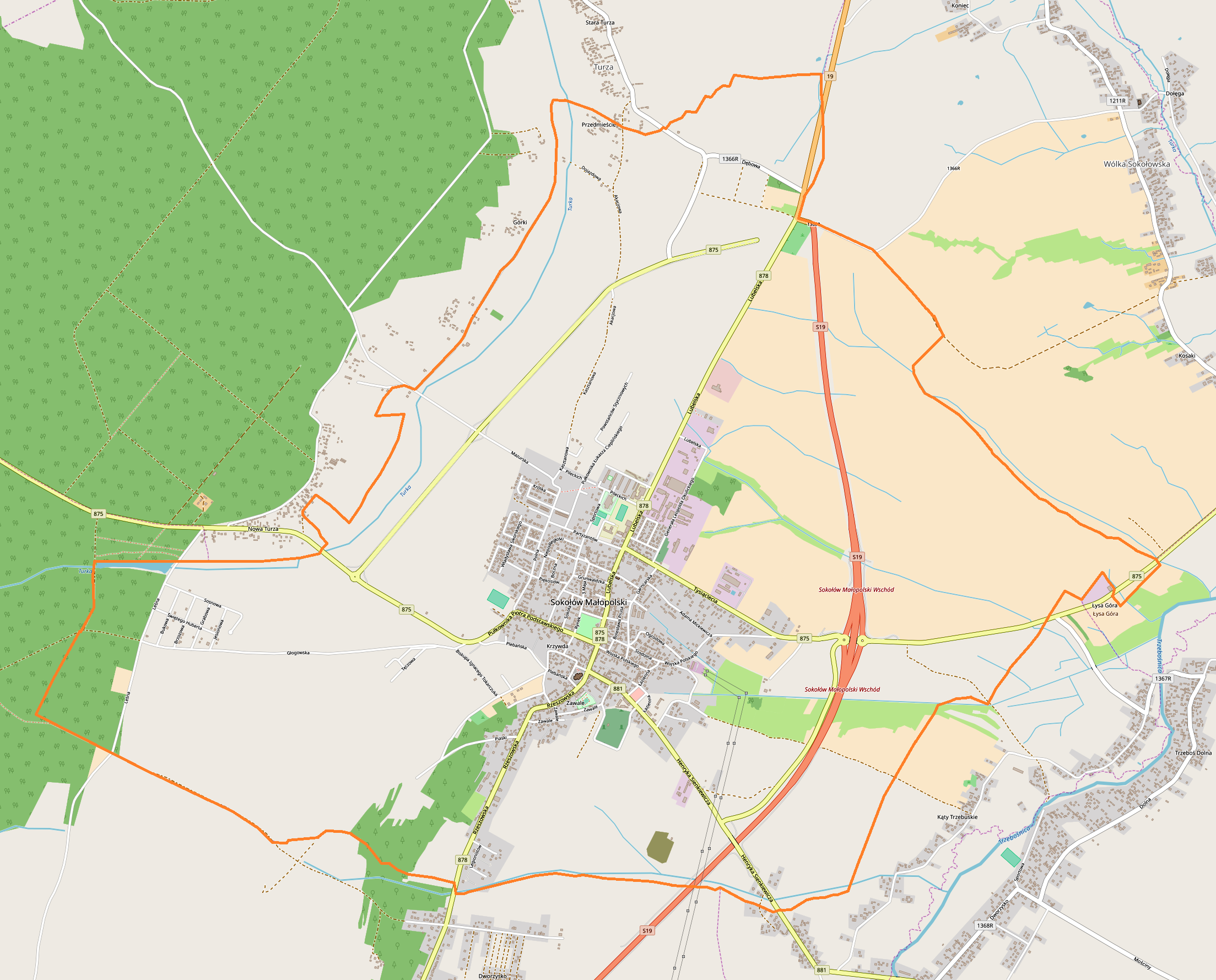
English: Location map |
| Date | |
| Source | Own work |
| Author | Smat |
| Description |
Polski: Mapa Sokołowa Małopolskiego, Polska
English: Map of Sokołów Małopolski, Poland |
|||||||||
| Date | ||||||||||
| Source | You may find a page on the OpenStreetMap wiki page for Sokołów Małopolski | |||||||||
| Creator |
OpenStreetMap contributors OpenStreetMap contributors |
|||||||||
| Permission (Reusing this file) |
OpenStreetMap data is available under the Open Database License (details). Map tiles are licensed under the Creative Commons Attribution-ShareAlike 2.0 license (CC-BY-SA 2.0).
This file is licensed under the Creative Commons Attribution-Share Alike 2.0 Generic license.
|
|||||||||
| Geotemporal data | ||||||||||
| Bounding box |
|
|||||||||
| Georeferencing | If inappropriate please set warp_status = skip to hide. | |||||||||
Licensing
[edit]
| This work contains information from OpenStreetMap, which is made available under the Open Database License (ODbL).
The ODbL does not require any particular license for maps produced from ODbL data. Prior to 1 August 2020, map tiles produced by the OpenStreetMap Foundation were licensed under the CC-BY-SA-2.0 license. Maps produced by other people may be subject to other licences. |
File history
Click on a date/time to view the file as it appeared at that time.
| Date/Time | Thumbnail | Dimensions | User | Comment | |
|---|---|---|---|---|---|
| current | 09:44, 21 August 2018 | | 2,207 × 1,778 (1.46 MB) | Smat (talk | contribs) | User created page with UploadWizard |
You cannot overwrite this file.
File usage on Commons
There are no pages that use this file.
File usage on other wikis
The following other wikis use this file:
- Usage on pl.wikipedia.org
- Synagoga w Sokołowie Małopolskim
- Stary cmentarz żydowski w Sokołowie Małopolskim
- Nowy cmentarz żydowski w Sokołowie Małopolskim
- Parafia św. Jana Chrzciciela w Sokołowie Małopolskim
- Stadion TG Sokół w Sokołowie Małopolskim
- Społeczne Muzeum Regionalne w Sokołowie Małopolskim
- Kościół św. Jana Chrzciciela w Sokołowie Małopolskim
- Kościół św. Ducha w Sokołowie Małopolskim
- Moduł:Mapa/dane/Sokołów Małopolski
- Wikipedysta:Patryk2710/brudnopis/Magistrat w Sokołowie Małopolskim
- Ulica Wojska Polskiego w Sokołowie Małopolskim
- Ulica Rzeszowska w Sokołowie Małopolskim
- Ulica Tadeusza Kościuszki w Sokołowie Małopolskim
- Ulica płk. Piotra Podstawskiego w Sokołowie Małopolskim
- Ulica Lubelska w Sokołowie Małopolskim
- Ulica Henryka Sienkiewicza w Sokołowie Małopolskim
- Rynek w Sokołowie Małopolskim
- Usage on pl.wikibooks.org
- Usage on pt.wikipedia.org