File:SolomonsCartwheel.jpg
Jump to navigation
Jump to search
No higher resolution available.
SolomonsCartwheel.jpg (800 × 475 pixels, file size: 125 KB, MIME type: image/jpeg)
Captions
Captions
Add a one-line explanation of what this file represents

|
This file has been superseded by CartwheelAreaMap.jpg. It is recommended to use the other file. Please note that deleting superseded images requires consent.
|
Summary
[edit]
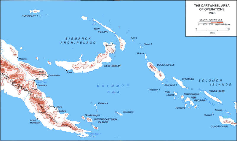
Map of central and northern Solomons, New Britain and New Ireland, and eastern New Guinea, the area of the Cartwheel operations in World War II. http://www.ibiblio.org/hyperwar/USA/USA-C-NSolomons/index.html
Licensing
[edit]
This work is in the public domain in the United States because it is a work prepared by an officer or employee of the United States Government as part of that person’s official duties under the terms of Title 17, Chapter 1, Section 105 of the US Code.
Note: This only applies to original works of the Federal Government and not to the work of any individual U.S. state, territory, commonwealth, county, municipality, or any other subdivision. This template also does not apply to postage stamp designs published by the United States Postal Service since 1978. (See § 313.6(C)(1) of Compendium of U.S. Copyright Office Practices). It also does not apply to certain US coins; see The US Mint Terms of Use.
|
 | |
| This file has been identified as being free of known restrictions under copyright law, including all related and neighboring rights. | ||
File history
Click on a date/time to view the file as it appeared at that time.
| Date/Time | Thumbnail | Dimensions | User | Comment | |
|---|---|---|---|---|---|
| current | 18:04, 13 June 2018 | | 800 × 475 (125 KB) | Hohum (talk | contribs) | Cleanup |
| 16:58, 1 August 2006 |  | 800 × 475 (104 KB) | Cla68 (talk | contribs) | Map of central and northern Solomons, New Britain and New Ireland, and eastern New Guinea, the area of the Cartwheel operations in World War II. http://www.ibiblio.org/hyperwar/USA/USA-C-NSolomons/index.html |
You cannot overwrite this file.
File usage on Commons
The following 3 pages use this file:
File usage on other wikis
The following other wikis use this file:
- Usage on it.wikipedia.org
- Usage on pt.wikipedia.org