File:Somalia location map.svg
Jump to navigation
Jump to search

Size of this PNG preview of this SVG file: 471 × 600 pixels. Other resolutions: 188 × 240 pixels | 377 × 480 pixels | 603 × 768 pixels | 804 × 1,024 pixels | 1,609 × 2,048 pixels | 1,051 × 1,338 pixels.
Original file (SVG file, nominally 1,051 × 1,338 pixels, file size: 171 KB)
Captions
Captions
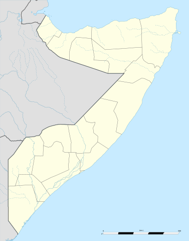
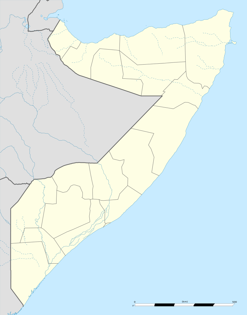
Map showing Somalia
Summary
| Camera location | | View this and other nearby images on: OpenStreetMap |
|---|
| Description |
English: Blank administrative map of Somalia, for geo-location purposes.
Français : Carte administrative vierge de la Somalie, destinée à la géolocalisation. Scale: 1:4,800,000 (precision: 1,200 m)
Geographic limits of the map:
|
||
| Date | |||
| Source |
Own work
|
||
| Author | Eric Gaba (Sting - fr:Sting) | ||
| Permission (Reusing this file) |
|
||
| Other versions |
|

.svg)

.jpg)
Licensing
I, the copyright holder of this work, hereby publish it under the following licenses:
This file is licensed under the Creative Commons Attribution-Share Alike 3.0 Unported license.
- You are free:
- to share – to copy, distribute and transmit the work
- to remix – to adapt the work
- Under the following conditions:
- attribution – You must give appropriate credit, provide a link to the license, and indicate if changes were made. You may do so in any reasonable manner, but not in any way that suggests the licensor endorses you or your use.
- share alike – If you remix, transform, or build upon the material, you must distribute your contributions under the same or compatible license as the original.

|
Permission is granted to copy, distribute and/or modify this document under the terms of the GNU Free Documentation License, Version 1.2 or any later version published by the Free Software Foundation; with no Invariant Sections, no Front-Cover Texts, and no Back-Cover Texts. A copy of the license is included in the section entitled GNU Free Documentation License. |
You may select the license of your choice.
File history
Click on a date/time to view the file as it appeared at that time.
| Date/Time | Thumbnail | Dimensions | User | Comment | |
|---|---|---|---|---|---|
| current | 12:12, 25 November 2009 | | 1,051 × 1,338 (171 KB) | Sting (talk | contribs) | == {{int:filedesc}} == {{Location|5|10|30|N|46|12|00|E|scale:7000000}} <br/> {{Information |Description={{en|Blank administrative map of Somalia, for geo-location purposes.}} {{fr|Carte administrative vierge de la Somalie, |
You cannot overwrite this file.
File usage
The following 26 pages use this file:
- User:Sting/Gallery: Location and locator maps
- File:Awdal in Somalia.svg
- File:Bakool in Somalia.svg
- File:Banaadir in Somalia.svg
- File:Banaadir in Somalia (special marker).svg
- File:Bari in Somalia.svg
- File:Bay in Somalia.svg
- File:Galguduud in Somalia.svg
- File:Gedo in Somalia.svg
- File:Hiiraan in Somalia.svg
- File:Italian Somaliland.svg
- File:Lower Juba in Somalia.svg
- File:Lower Shabele in Somalia.svg
- File:Middle Juba in Somalia.svg
- File:Middle Shabele in Somalia.svg
- File:Mudug in Somalia.svg
- File:Nugaal in Somalia.svg
- File:Qoryooley Locator.png
- File:Sanaag in Somalia.svg
- File:Somalia location map.svg
- File:Somalia location map (2).svg
- File:Somalia location map (de-facto).svg
- File:Somalia relief location map.jpg
- File:Sool in Somalia.svg
- File:Togdheer in Somalia.svg
- File:Woqooyi Galbeed in Somalia.svg
.svg)
.svg)
Global file usage
The following other wikis use this file:
- Usage on af.wikipedia.org
- Usage on als.wikipedia.org
- Usage on an.wikipedia.org
- Usage on ar.wikipedia.org
- Usage on ast.wikipedia.org
- Usage on azb.wikipedia.org
- Usage on be-tarask.wikipedia.org
- Usage on be.wikipedia.org
- Usage on bg.wikipedia.org
- Usage on bn.wikipedia.org
- Usage on bs.wikipedia.org
- Usage on ca.wikipedia.org
- Usage on cs.wikipedia.org
- Usage on da.wikipedia.org
- Usage on de.wikipedia.org
View more global usage of this file.