File:Somaliland location map.png
Jump to navigation
Jump to search
No higher resolution available.
Somaliland_location_map.png (800 × 504 pixels, file size: 54 KB, MIME type: image/png)
Captions
Captions
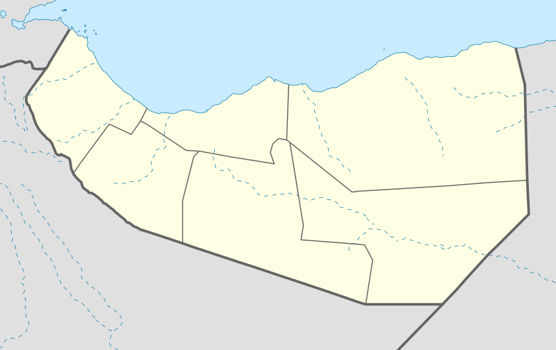
Somaliland including the disputed area (in light grey) Sool, Sanaag and Ceyn
Summary
[edit]| Description |
English: Location of Somaliland |
|||
| Date | ||||
| Source | Own work | |||
| Author | Zaki199105 | |||
| Other versions |
|

.svg)
Licensing
[edit]
I, the copyright holder of this work, hereby publish it under the following license:
This file is licensed under the Creative Commons Attribution-Share Alike 4.0 International license.
- You are free:
- to share – to copy, distribute and transmit the work
- to remix – to adapt the work
- Under the following conditions:
- attribution – You must give appropriate credit, provide a link to the license, and indicate if changes were made. You may do so in any reasonable manner, but not in any way that suggests the licensor endorses you or your use.
- share alike – If you remix, transform, or build upon the material, you must distribute your contributions under the same or compatible license as the original.
File history
Click on a date/time to view the file as it appeared at that time.
| Date/Time | Thumbnail | Dimensions | User | Comment | |
|---|---|---|---|---|---|
| current | 07:58, 4 March 2021 | | 800 × 504 (54 KB) | Siirski (talk | contribs) | Corrected eastern border |
| 09:07, 22 January 2021 |  | 1,334 × 750 (99 KB) | Siirski (talk | contribs) | Reverted to version as of 23:41, 28 November 2020 (UTC) | |
| 17:59, 20 January 2021 |  | 1,334 × 750 (95 KB) | FLG09 (talk | contribs) | Disputed area of Somaliland (in light grey) as per long-standing concensus | |
| 23:41, 28 November 2020 |  | 1,334 × 750 (99 KB) | Jacob300 (talk | contribs) | Updated map to show Sahil region | |
| 18:39, 20 June 2020 |  | 1,334 × 750 (99 KB) | Kzl55 (talk | contribs) | Reverted to version as of 21:56, 3 February 2020 (UTC) Irrelevant, restored original. | |
| 17:32, 20 June 2020 |  | 1,334 × 750 (107 KB) | Meelpringthusss (talk | contribs) | see ongoing discussion at File_talk:Somalia_map_states_regions_districts.png#There_is_nuance_with_regards_to_control | |
| 21:56, 3 February 2020 |  | 1,334 × 750 (99 KB) | Zaki199105 (talk | contribs) | User created page with UploadWizard |
You cannot overwrite this file.
File usage on Commons
There are no pages that use this file.