File:South Bohemia location map.svg
Jump to navigation
Jump to search

Size of this PNG preview of this SVG file: 742 × 557 pixels. Other resolutions: 320 × 240 pixels | 640 × 480 pixels | 1,023 × 768 pixels | 1,280 × 961 pixels | 2,560 × 1,922 pixels.
Original file (SVG file, nominally 742 × 557 pixels, file size: 108 KB)
Captions
Captions
Add a one-line explanation of what this file represents
| Description |
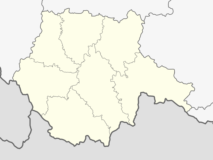
English: Location map of South Bohemia Region in Czech Rep. |
||
| Source | Own work | ||
| Author | Iguacu | ||
| Permission (Reusing this file) |
|
||
| Other versions |
 |
File history
Click on a date/time to view the file as it appeared at that time.
| Date/Time | Thumbnail | Dimensions | User | Comment | |
|---|---|---|---|---|---|
| current | 18:20, 13 April 2010 | | 742 × 557 (108 KB) | Iguacu (talk | contribs) | fixed border |
| 07:58, 16 February 2010 |  | 742 × 557 (108 KB) | Iguacu (talk | contribs) | {{Information |Description={{en|1=Location map of South Bohemia Region in Czech Rep.}} |Source={{own}} |Author=Iguacu |Date= |Permission={{PD-self}} |other_versions= }} Category:South Bohemian Region |
You cannot overwrite this file.
File usage on Commons
There are no pages that use this file.
File usage on other wikis
The following other wikis use this file:
- Usage on de.wikipedia.org
- Schloss Bechyně
- Schloss Blatná
- Burg Rožmberk
- Burg Dívčí Kámen
- Burg Choustník
- Schloss Třeboň
- Schloss Ohrada
- Schloss Kratochvíle
- Rosenberg-Weiher
- Čermákův vrch
- Olšina (Teich)
- Stadion Střelecký ostrov
- Záblatský rybník
- Plešné jezero
- Aussichtsturm Jarník
- Budvar Aréna
- Brücke von Bechyně
- Wikipedia:Kartenwerkstatt/Positionskarten/Europa
- Bezdrev
- Stankauer Teich
- Burg Pořešín
- Schloss Vimperk
- Obří hrad
- Burg Cuknštejn
- Horusický rybník
- Vorlage:Positionskarte Tschechien Jihočeský kraj
- Stráž (Berg)
- Dehtář
- Burg Dobronice
- Burg Hus
- Haselburg (Vimperk)
- Sender Kleť
- Burg Křikava
- Talsperre Husinec
- Libín (Berg)
- Hirschbergen-Tunnel
- Bobík
- Hrad
- Diskussion:Sender Kleť
- Kettenbrücke in Stádlec
- Myslivna
- Burg Kunžvart
- Kunžvart (Berg)
- Strážný (Berg)
- Burgruine Velešín
- Burgruine Louzek
- Burgruine Sokolčí
- Feste Tichá
- Větrný
- Stožec (Böhmerwald)
View more global usage of this file.