File:South Bohemian Region locator map.svg
Jump to navigation
Jump to search

Size of this PNG preview of this SVG file: 785 × 599 pixels. Other resolutions: 314 × 240 pixels | 629 × 480 pixels | 1,006 × 768 pixels | 1,280 × 977 pixels | 2,560 × 1,955 pixels | 2,681 × 2,047 pixels.
Original file (SVG file, nominally 2,681 × 2,047 pixels, file size: 330 KB)
Captions
Captions
Add a one-line explanation of what this file represents
| Description |
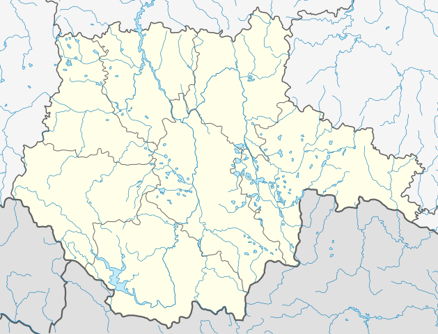
English: Locator map of the South Bohemian Region, Czech Republic. Coordinates:
Русский: Позиционная карта Южночешского края Чехии. Координаты:
|
||
| Date | |||
| Source | Own work | ||
| Author | Iguacu | ||
| Permission (Reusing this file) |
|
||
| Other versions | File:South Bohemia location map.svg |
File history
Click on a date/time to view the file as it appeared at that time.
| Date/Time | Thumbnail | Dimensions | User | Comment | |
|---|---|---|---|---|---|
| current | 10:22, 18 August 2013 | | 2,681 × 2,047 (330 KB) | Iguacu (talk | contribs) | bolder borders |
| 09:22, 18 August 2013 |  | 2,681 × 2,047 (330 KB) | Iguacu (talk | contribs) | border corrections | |
| 23:40, 11 August 2011 |  | 2,681 × 2,047 (314 KB) | Iguacu (talk | contribs) | {{Information |Description ={{en|1=Locator map of the South Bohemian Region, Czech Rep. Left: 13,4747 Right: 15,6919 Up: 49,5819 Down: 48,6728}} |Source ={{own}} |Author =Iguacu |Date =12-VIII-2011 |Permission |
You cannot overwrite this file.
File usage on Commons
The following page uses this file:
File usage on other wikis
The following other wikis use this file:
- Usage on cs.wikipedia.org
- Usage on ja.wikipedia.org
- Usage on kbd.wikipedia.org
- Usage on os.wikipedia.org
- Usage on ru.wikipedia.org
- Табор (город)
- Страконице
- Писек
- Ческе-Будеёвице
- Рожмберк-над-Влтавоу
- Прахатице
- Шаблон:ПозКарта Чехия Южночешский край
- Клеть (гора)
- Плешне
- Блатна
- Нежарка
- Бланице (приток Отавы)
- Славоницки-Поток
- Смутна
- Дачице
- Майдалена
- Лишов (Чехия)
- Вишши-Брод
- Собеслав (Чехия)
- Ческе-Веленице
- Милевско
- Миротице
- Сезимово-Усти
- Хинов
- Кардашова-Ржечице
- Кунжак