File:South Korea second level divisions.svg
Jump to navigation
Jump to search

Size of this PNG preview of this SVG file: 422 × 599 pixels. Other resolutions: 169 × 240 pixels | 338 × 480 pixels | 541 × 768 pixels | 722 × 1,024 pixels | 1,443 × 2,048 pixels | 592 × 840 pixels.
Original file (SVG file, nominally 592 × 840 pixels, file size: 449 KB)
Captions
Captions
Add a one-line explanation of what this file represents
Summary[edit]
| Description |
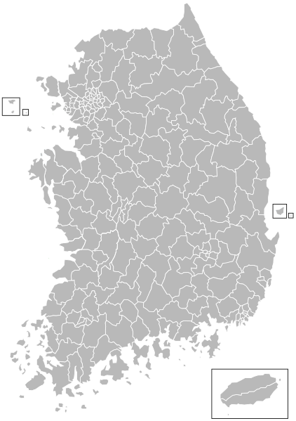
English: A map of all South Korean Metropolitan cities' wards (gu), Municipal cities (si), and Counties (gun). |
| Date | |
| Source | Dmthoth |
| Author | ASDFGHJ |
Licensing[edit]
I, the copyright holder of this work, hereby publish it under the following licenses:
This file is licensed under the Creative Commons Attribution-Share Alike 3.0 Unported license.
- You are free:
- to share – to copy, distribute and transmit the work
- to remix – to adapt the work
- Under the following conditions:
- attribution – You must give appropriate credit, provide a link to the license, and indicate if changes were made. You may do so in any reasonable manner, but not in any way that suggests the licensor endorses you or your use.
- share alike – If you remix, transform, or build upon the material, you must distribute your contributions under the same or compatible license as the original.

|
Permission is granted to copy, distribute and/or modify this document under the terms of the GNU Free Documentation License, Version 1.2 or any later version published by the Free Software Foundation; with no Invariant Sections, no Front-Cover Texts, and no Back-Cover Texts. A copy of the license is included in the section entitled GNU Free Documentation License. |
You may select the license of your choice.
File history
Click on a date/time to view the file as it appeared at that time.
| Date/Time | Thumbnail | Dimensions | User | Comment | |
|---|---|---|---|---|---|
| current | 21:16, 2 July 2014 | | 592 × 840 (449 KB) | Tcfc2349 (talk | contribs) | Modified |
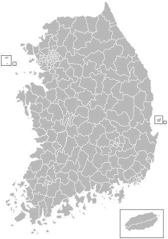
| 00:32, 30 July 2011 |  | 592 × 840 (451 KB) | ASDFGH (talk | contribs) | fix | |
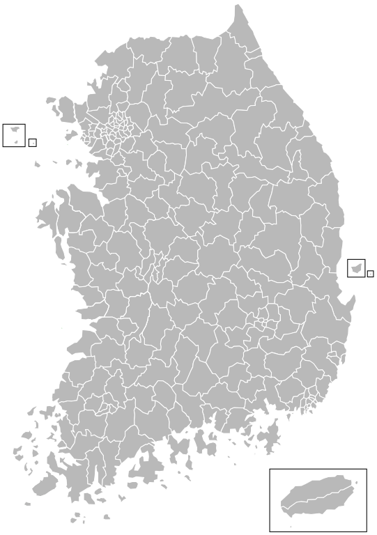
| 03:54, 6 June 2010 |  | 592 × 840 (450 KB) | ASDFGHJ (talk | contribs) | == Summary == {{Information |Description={{en|1=A map of all South Korean Metropolitan cities' wards (''gu''), Municipal cities (''si''), and Counties (''gun'').}} |Source=Dmthoth |Author=ASDFGHJ |Date=5 June 2010 |Permis |
You cannot overwrite this file.
File usage
There are no pages that use this file.
Global file usage
The following other wikis use this file:
- Usage on bn.wikipedia.org
- Usage on cs.wikipedia.org
- Usage on de.wikipedia.org
- Usage on en.wikipedia.org
- Usage on hi.wikipedia.org
- Usage on ko.wikipedia.org
- Usage on mn.wikipedia.org
- Usage on ms.wikipedia.org
- Usage on no.wikipedia.org
- Sør-Korea
- Seoul
- Wikipedia:Maler/Verden og geografi
- Busan
- Mal:Sør-Koreas regioner
- Liste over byer i Sør-Korea
- Daegu
- Incheon
- Gwangju
- Daejeon
- Ulsan
- Sør-Koreas administrative enheter
- Jeju
- Sør-Gyeongsang
- Nord-Gyeongsang
- Nord-Jeolla
- Sør-Chungcheong
- Nord-Chungcheong
- Gangwon
- Gyeonggi
- Sør-Jeolla
- Jeju (by)
- Chungcheong
- Portal:Korea/Utvalgt kart/Arkiv
- Portal:Korea/Utvalgt kart/Uke 20
- Yeongnam
- Sejong by
- Honam
- Bruker:Frodese/Maler
- Yeongdong
- ISO 3166-2:KR
- Do (forvaltningsenhet)
- Gwangyeoksi
- Teukbyeolsi
- Mal:Administrativ inndeling av Sør-Korea
- Teukbyeoljachido
- Gu (forvaltningsenhet)
- Gun (forvaltningsenhet)
- Si (forvaltningsenhet)
- Myeon
- Eup
View more global usage of this file.