File:South Shomron.svg
Jump to navigation
Jump to search

Size of this PNG preview of this SVG file: 800 × 518 pixels. Other resolutions: 320 × 207 pixels | 640 × 414 pixels | 1,024 × 663 pixels | 1,280 × 829 pixels | 2,560 × 1,658 pixels | 2,100 × 1,360 pixels.
Original file (SVG file, nominally 2,100 × 1,360 pixels, file size: 114 KB)
Captions
Captions
Add a one-line explanation of what this file represents
Summary
[edit]
| Description |
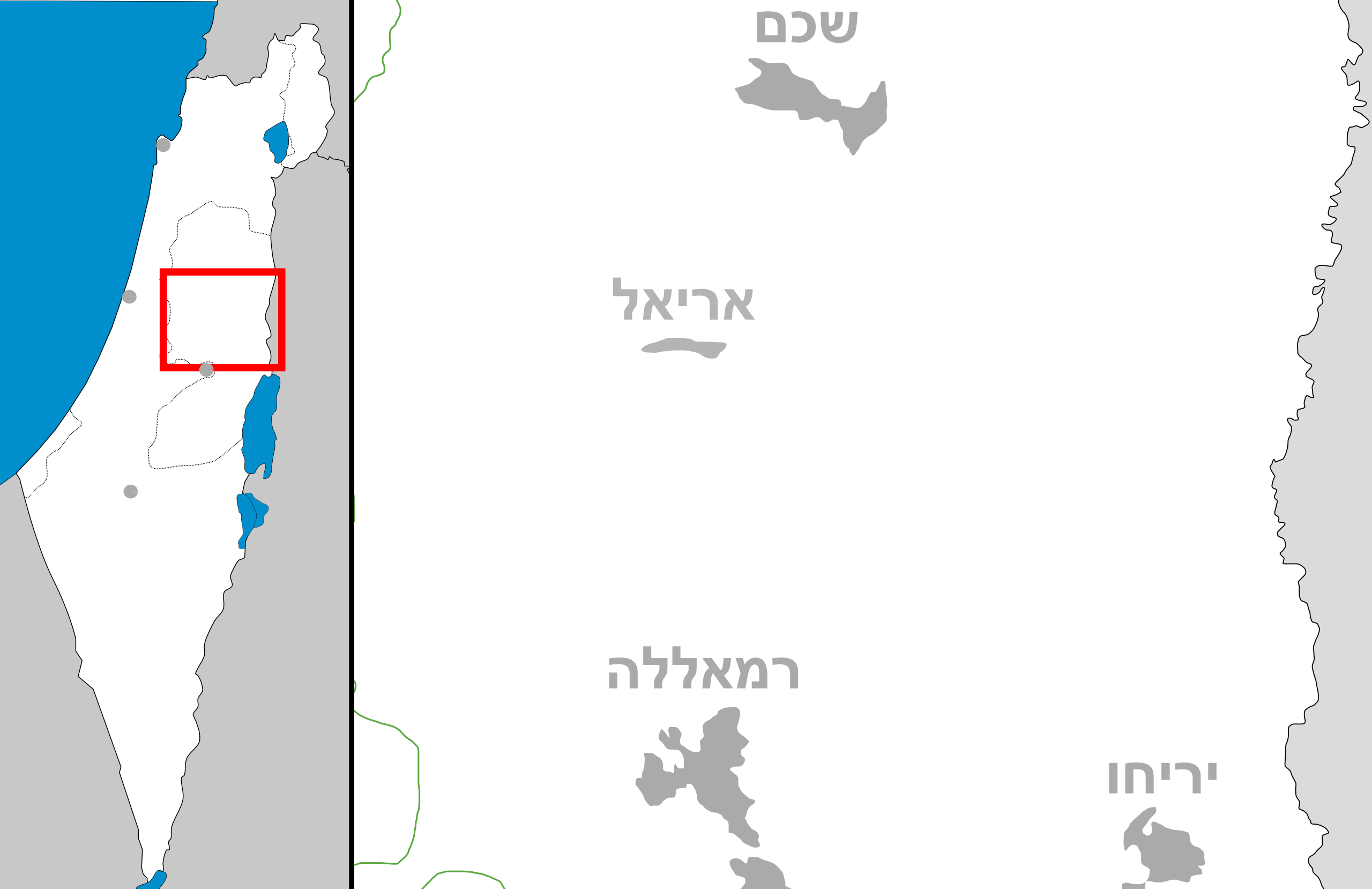
English: Map of the southern part of Samaria, Hebrew labels
עברית: מפה של דרום השומרון, חלק מאוסף מפות מיקום מפורטות של ישראל |
| Date | (UTC) |
| Source | Own work |
| Author | Costello |
Licensing
[edit]
I, the copyright holder of this work, hereby publish it under the following licenses:
This file is licensed under the Creative Commons Attribution-Share Alike 3.0 Unported license.
- You are free:
- to share – to copy, distribute and transmit the work
- to remix – to adapt the work
- Under the following conditions:
- attribution – You must give appropriate credit, provide a link to the license, and indicate if changes were made. You may do so in any reasonable manner, but not in any way that suggests the licensor endorses you or your use.
- share alike – If you remix, transform, or build upon the material, you must distribute your contributions under the same or compatible license as the original.

|
Permission is granted to copy, distribute and/or modify this document under the terms of the GNU Free Documentation License, Version 1.2 or any later version published by the Free Software Foundation; with no Invariant Sections, no Front-Cover Texts, and no Back-Cover Texts. A copy of the license is included in the section entitled GNU Free Documentation License. |
You may select the license of your choice.
File history
Click on a date/time to view the file as it appeared at that time.
| Date/Time | Thumbnail | Dimensions | User | Comment | |
|---|---|---|---|---|---|
| current | 16:04, 2 October 2008 | | 2,100 × 1,360 (114 KB) | Costello (talk | contribs) | fix of the Dead sea south border |
| 14:09, 19 September 2008 |  | 2,100 × 1,360 (110 KB) | Costello (talk | contribs) | {{Information |Description={{en|1=Map of the southern part of Samaria, Hebrew labels }} {{he|1=מפה של דרום השומרון, חלק מאוסף מפות מיקום מפורטות של ישראל}} |Source=Own work by uploader |Author=[[User:Costello |
You cannot overwrite this file.
File usage on Commons
There are no pages that use this file.
File usage on other wikis
The following other wikis use this file:
- Usage on he.wikipedia.org
- בית אל
- מעלה אפרים
- בעל חצור
- בקעת הירדן
- מכינה קדם-צבאית בני דוד
- מבואות יריחו
- שילה (יישוב מקראי)
- נתיב הגדוד
- ישיבת בית אל
- נערן
- קבר יוסף
- שילה (יישוב)
- גלגל (קיבוץ)
- ייט"ב
- יפית
- פצאל
- נעמה (מושב)
- פסגות
- מגדלים
- מעלה לבונה
- מעלה מכמש
- שבות רחל
- כוכב השחר (יישוב)
- מצפה כרמים
- עפרה
- נופי נחמיה
- רימונים
- עלי (יישוב)
- דוק
- סרטבה
- מועצה אזורית מטה בנימין
- עמונה
- העי
- סינג'יל
- בית הכנסת בנערן
- הרי בנימין
- קידה (מאחז)
- גוש שילה
- נחל מכוך
- אסון הנ"ד
- מעיין אלישע
- גשר אלנבי
- ישיבת בני צבי
- תבנית:בוט יישובים/3574
- תבנית:בוט יישובים/3608
- ואדי חרמיה
- ח'רבת אל-מפג'ר
- רעש שביעית
- תבנית:בוט יישובים/3617
- תבנית:בוט יישובים/3765
View more global usage of this file.