File:Soviet Caucasus map.svg
跳转到导航
跳转到搜索

此SVG文件的PNG预览的大小:712 × 600像素。 其他分辨率:285 × 240像素 | 570 × 480像素 | 912 × 768像素 | 1,216 × 1,024像素 | 2,432 × 2,048像素 | 747 × 629像素。
原始文件 (SVG文件,尺寸为747 × 629像素,文件大小:731 KB)
说明
说明
添加一行文字以描述该文件所表现的内容
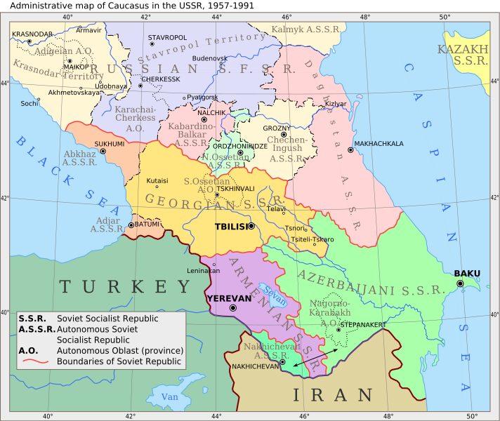
Administrative Map of the Caucasus in the USSR, 1957-1991
摘要
[编辑]
| 描述 |
English: Administrative map of Caucasus in USSR, 1957-1991 |
| 日期 | (UTC) |
| 来源 | |
| 作者 |
|
| 其他版本 |
 |
| 这是一张修改过的图片,这意味着它已在原版本的基础上通过软件进行了编辑,改动内容:Vectorization。其原始版本为:Caucasiamapussr.gif。修改者:Hellerick。
|
许可协议
[编辑]
我,本作品著作权人,特此采用以下许可协议发表本作品:
| 本文件采用知识共享署名-相同方式共享 3.0 未本地化版本许可协议授权。 | ||
| ||
| 本许可协议标签作为GFDL许可协议更新的组成部分被添加至本文件。 |

|
已授权您依据自由软件基金会发行的无固定段落及封面封底文字(Invariant Sections, Front-Cover Texts, and Back-Cover Texts)的GNU自由文件许可协议1.2版或任意后续版本的条款,复制、传播和/或修改本文件。该协议的副本请见“GNU Free Documentation License”。 |
您可以选择您需要的许可协议。
原始上传日志
[编辑]
This image is a derivative work of the following images:
- File:Caucasiamapussr.gif licensed with Cc-by-sa-3.0-migrated, GFDL
- 2011-03-27T04:49:14Z Hellerick 700x590 (82529 Bytes) The earlier changes were correct.
- 2011-01-16T19:12:39Z Geagea 700x590 (60613 Bytes) Reverted to version as of 10:16, 24 February 2007. To the uploader's last version
- 2011-01-16T18:38:27Z Nicolay Sidorov 700x590 (82529 Bytes) Adygea to Krasnodar, Karachay-Cherkess to Stavropol.
- 2011-01-16T18:31:42Z Nicolay Sidorov 700x590 (82116 Bytes) The Chechen-Ingush republic was restored on January 9, 1957
- 2007-02-24T10:16:08Z Hardscarf 700x590 (60613 Bytes) {{Information |Description=Administrative map of [[:en:Caucasus]] in USSR, 1952-1991 |Source=Armenica.org {{ConfirmationImageOTRS|source=http://armenica.org/|otrs=2007010210006387}} Originally from [http://en.wikipedia.org en
Uploaded with derivativeFX
文件历史
点击某个日期/时间查看对应时刻的文件。
| 日期/时间 | 缩略图 | 大小 | 用户 | 备注 | |
|---|---|---|---|---|---|
| 当前 | 2017年6月14日 (三) 09:37 | | 747 × 629(731 KB) | Hellerick(留言 | 贡献) | moved Grozny; replaced Prokhladni with Pyatigorsk |
| 2011年3月29日 (二) 11:08 |  | 700 × 590(701 KB) | Hellerick(留言 | 贡献) | Still fixing font bug | |
| 2011年3月29日 (二) 11:05 |  | 700 × 590(682 KB) | Hellerick(留言 | 贡献) | Still fixng font bug | |
| 2011年3月29日 (二) 11:02 |  | 700 × 590(589 KB) | Hellerick(留言 | 贡献) | Fixed font bug | |
| 2011年3月29日 (二) 10:57 |  | 700 × 590(152 KB) | Hellerick(留言 | 贡献) | Fexed external link bug | |
| 2011年3月29日 (二) 10:56 |  | 700 × 590(181 KB) | Hellerick(留言 | 贡献) | {{Information |Description=Administrative map of en:Caucasus in USSR, 1957-1991 |Source=*File:Caucasiamapussr.gif |Date=2011-03-29 10:53 (UTC) |Author=*File:Caucasiamapussr.gif: Original uploader was Artaxiad at [htt |
您不可以覆盖此文件。
文件用途
以下5个页面使用本文件:
全域文件用途
以下其他wiki使用此文件:
- ar.wikipedia.org上的用途
- ast.wikipedia.org上的用途
- azb.wikipedia.org上的用途
- az.wikipedia.org上的用途
- be.wikipedia.org上的用途
- bg.wikipedia.org上的用途
- bn.wikipedia.org上的用途
- bs.wikipedia.org上的用途
- ca.wikipedia.org上的用途
- ce.wikipedia.org上的用途
- ckb.wikipedia.org上的用途
- cs.wikipedia.org上的用途
查看此文件的更多全域用途。
元数据
分类:
- Maps of the Armenian Soviet Socialist Republic
- Maps of the Azerbaijan Soviet Socialist Republic
- Maps of the Georgian Soviet Socialist Republic
- Maps of the Russian Soviet Federative Socialist Republic
- Maps of the Transcaucasian Socialist Federative Soviet Republic
- Maps of the history of Abkhazia
- Maps of the history of Adygea
- Maps of the history of Ajaria
- Maps of the history of Armenia
- Maps of the history of the Caucasus under Soviet rule
- Maps of the history of Chechnya
- Maps of the history of Dagestan
- Maps of the history of Georgia
- English-language SVG maps showing history