File:StHelensSouthWhiston2007Constituency.svg
Jump to navigation
Jump to search

Size of this PNG preview of this SVG file: 318 × 327 pixels. Other resolutions: 233 × 240 pixels | 467 × 480 pixels | 747 × 768 pixels | 996 × 1,024 pixels | 1,992 × 2,048 pixels.
Original file (SVG file, nominally 318 × 327 pixels, file size: 135 KB)
Captions
Captions
Add a one-line explanation of what this file represents
Summary[edit]
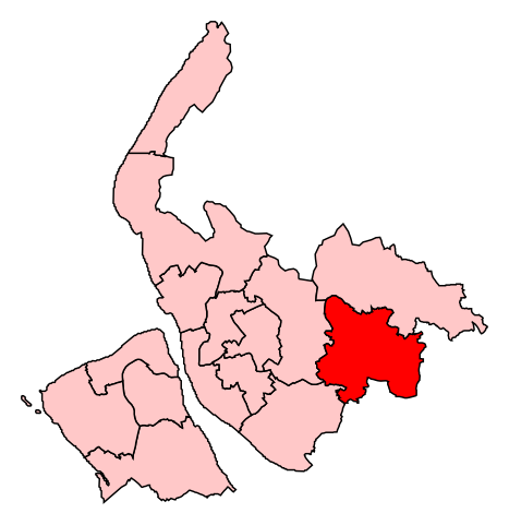
| Description | Map of the new UK Parliament constituency of St. Helens South and Whiston. |
| Date | 2 July 2008 (original upload date) |
| Source | No machine-readable source provided. Own work assumed (based on copyright claims). |
| Author | No machine-readable author provided. Wereon assumed (based on copyright claims). |
Licensing[edit]
| I, the copyright holder of this work, release this work into the public domain. This applies worldwide. In some countries this may not be legally possible; if so: I grant anyone the right to use this work for any purpose, without any conditions, unless such conditions are required by law. |
File history
Click on a date/time to view the file as it appeared at that time.
| Date/Time | Thumbnail | Dimensions | User | Comment | |
|---|---|---|---|---|---|
| current | 12:55, 2 July 2008 | | 318 × 327 (135 KB) | Wereon (talk | contribs) | == Summary == Map of the new UK Parliament constituency of St. Helens South and Whiston. == Licensing == {{PD-self}} Category:Locator maps of parliamentary constituencies of Merseyside {{ImageUpload|basic}} |
You cannot overwrite this file.
File usage on Commons
There are no pages that use this file.
File usage on other wikis
The following other wikis use this file:
- Usage on en.wikipedia.org
- Usage on fr.wikipedia.org
- Usage on it.wikipedia.org
- Usage on zh.wikipedia.org