File:St Lucia Estuary OSM.png
Jump to navigation
Jump to search

Size of this preview: 800 × 549 pixels. Other resolutions: 320 × 220 pixels | 640 × 439 pixels | 1,024 × 703 pixels | 1,280 × 878 pixels | 1,787 × 1,226 pixels.
Original file (1,787 × 1,226 pixels, file size: 3.06 MB, MIME type: image/png)
Captions
Captions
Add a one-line explanation of what this file represents
Summary
[edit]
| Description |
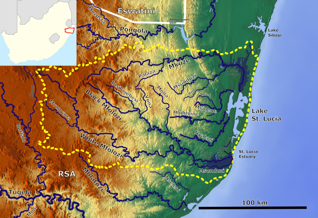
English: The St Lucia Estuary Catchment_OSM. Based up on US military map SH36. |
| Date | |
| Source | https://maps-for-free.com, http://legacy.lib.utexas.edu/maps/ams/africa_1m/, European Soil Data Centre (ESDAC), Location map:File:South Africa adm location map.svg |
| Author | Hans Braxmeier & Peter in s, Location map:NordNordWest |
This file is licensed under the Creative Commons Attribution-Share Alike 3.0 Unported license.
- You are free:
- to share – to copy, distribute and transmit the work
- to remix – to adapt the work
- Under the following conditions:
- attribution – You must give appropriate credit, provide a link to the license, and indicate if changes were made. You may do so in any reasonable manner, but not in any way that suggests the licensor endorses you or your use.
- share alike – If you remix, transform, or build upon the material, you must distribute your contributions under the same or compatible license as the original.
File history
Click on a date/time to view the file as it appeared at that time.
| Date/Time | Thumbnail | Dimensions | User | Comment | |
|---|---|---|---|---|---|
| current | 08:08, 12 October 2021 | | 1,787 × 1,226 (3.06 MB) | Peter in s (talk | contribs) | Contrast |
| 06:30, 11 July 2020 |  | 1,787 × 1,226 (2.83 MB) | Peter in s (talk | contribs) | +Location | |
| 16:14, 10 July 2020 |  | 1,787 × 1,226 (3.07 MB) | Peter in s (talk | contribs) | {{Information |Description={{en|1=The St Lucia Estuary Catchment_OSM}} |Source=https://maps-for-free.com |Date=2020-07-10 |Author=Hans Braxmeier & Peter in s |Permission=cc-by-sa-2.0 |other_versions= }} Category:Maps of rivers of South Africa Category:Drainage basin maps of Africa Category:Lake St. Lucia |
You cannot overwrite this file.
File usage on Commons
The following 2 pages use this file:
File usage on other wikis
The following other wikis use this file:
- Usage on af.wikipedia.org
- Usage on ceb.wikipedia.org
- Usage on de.wikipedia.org
- Usage on pt.wikipedia.org
- Usage on www.wikidata.org
- Usage on xmf.wikipedia.org