File:Stadhus and Strömgatan at Day - panoramio.jpg
Jump to navigation
Jump to search

Size of this preview: 800 × 382 pixels. Other resolutions: 320 × 153 pixels | 640 × 306 pixels | 1,024 × 489 pixels | 1,280 × 612 pixels | 2,792 × 1,334 pixels.
Original file (2,792 × 1,334 pixels, file size: 3.15 MB, MIME type: image/jpeg)
Captions
Captions
Add a one-line explanation of what this file represents
Summary
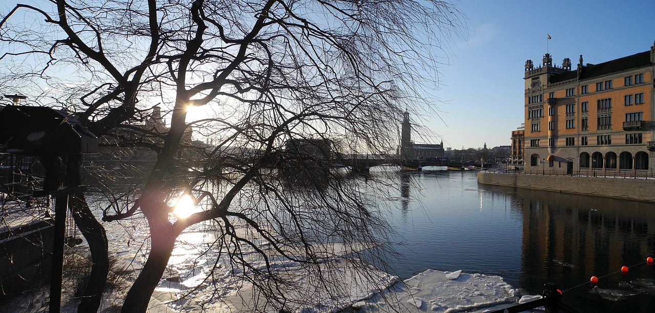
[edit]| Description | Stadhus and Strömgatan at Day | ||
| Date | Taken on 17 February 2012 | ||
| Source | https://web.archive.org/web/20161024002148/http://www.panoramio.com/photo/68455249 | ||
| Author | Schölla Schwarz | ||
| Permission (Reusing this file) |
This file is licensed under the Creative Commons Attribution 3.0 Unported license. Attribution: Schölla Schwarz
|
||
| Tags (from Panoramio photo page) | Stockholm, >03200, Jahr2012, Skandinavien |
| Camera location | | View this and other nearby images on: OpenStreetMap |
|---|

File history
Click on a date/time to view the file as it appeared at that time.
| Date/Time | Thumbnail | Dimensions | User | Comment | |
|---|---|---|---|---|---|
| current | 01:18, 30 December 2016 | | 2,792 × 1,334 (3.15 MB) | Panoramio upload bot (talk | contribs) | == {{int:filedesc}} == {{Information |description=Stadhus and Strömgatan at Day |date={{Taken on|2012-02-17}} |source=http://www.panoramio.com/photo/68455249 |author=[http://www.panoramio.com/user/440234?with_photo_id=68455249 Schölla Schwarz] |permi... |
You cannot overwrite this file.
File usage on Commons
There are no pages that use this file.